
Latest Videos
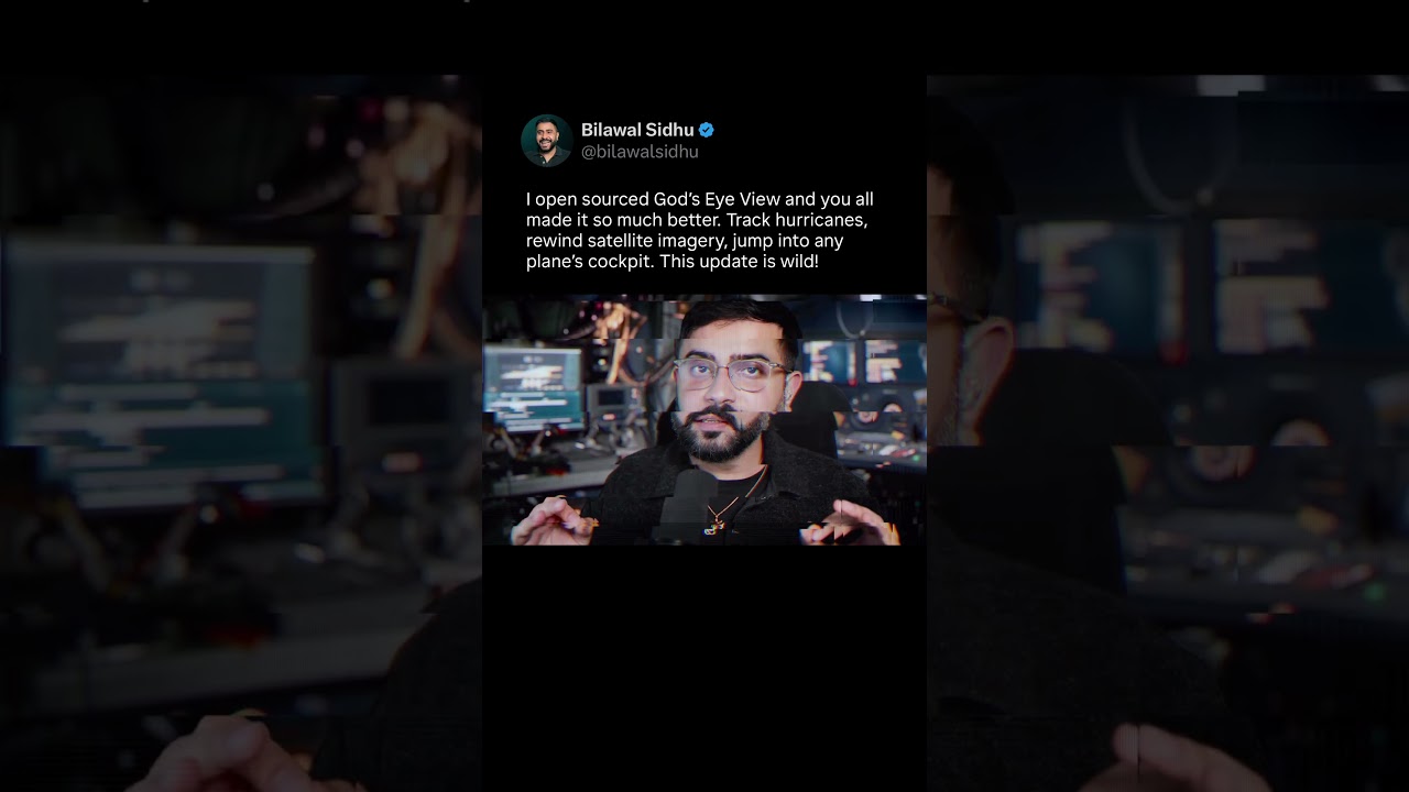
God’s Eye View Just Got A Huge Upgrade
The best part about open sourcing God’s Eye View has been seeing what y’all build on top of it. Track a hurricane and its uncertainty cone. Compare satellite imagery across dates. Plug in an SDR antenna and see what's flying overhead. Then pull it all into Director Mode to tell a story with geolocated video, satellite imagery and 3D reconstruction. If you haven’t updated in a minute, you're gonna love what we've been cooking.
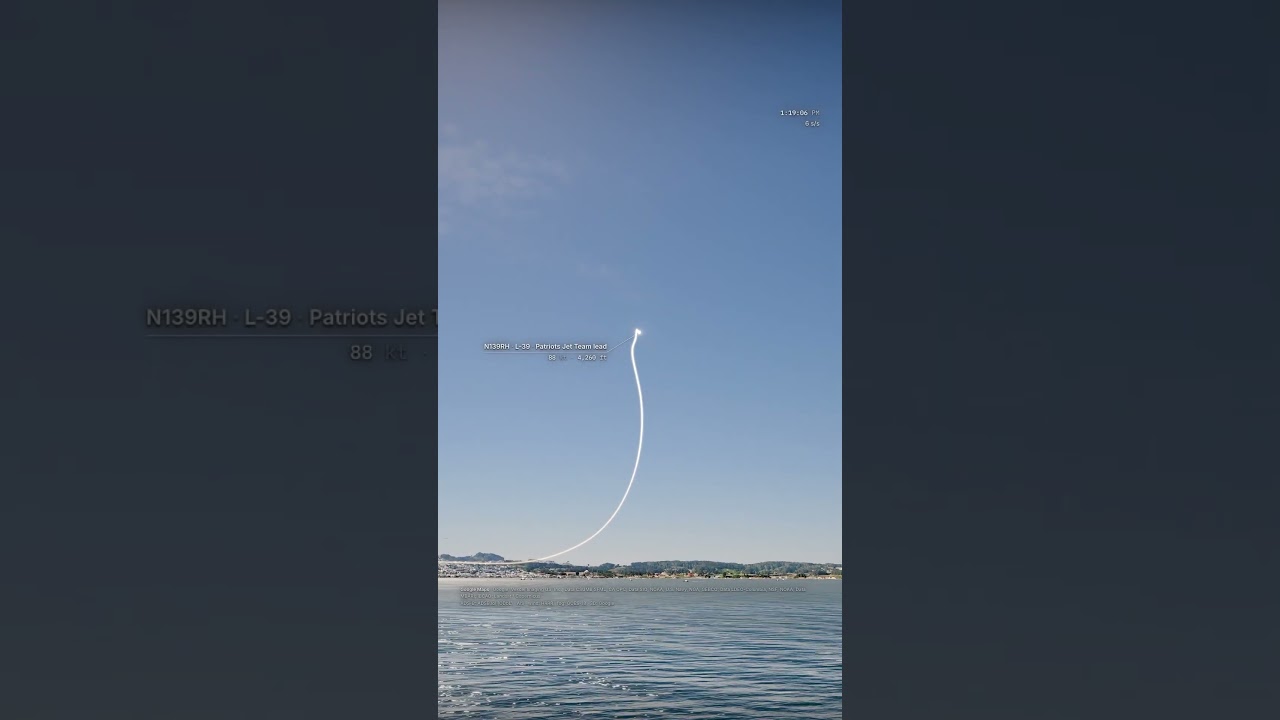
I Recreated SF Fleet Week 2026 Using God’s Eye View and Plane Tracking Data
I reconstructed Fleet Week in 3D from real flight and vessel tracking data - all rendered in a photorealistic digital twin of San Francisco. The camera engine reads the flight telemetry to track each jet and speed ramp at just the right moment. Reliving any event in any city from a god's eye view is closer than you think. Shout out to the aviators who give us this glorious treat every year!
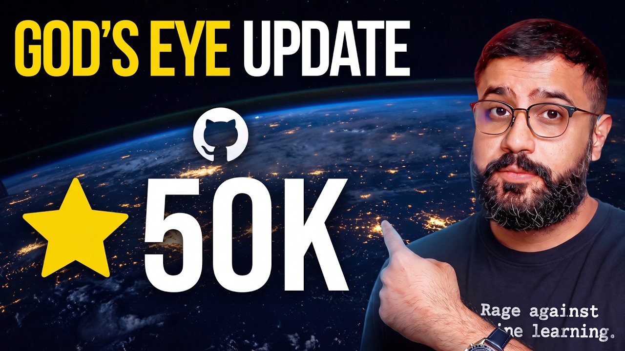
God’s Eye View Just Got a Massive Upgrade
God’s Eye View just keeps blowing up. But what y’all are building is beyond my wildest imagination. In this update, I’m taking you through the community’s latest additions: weather systems and hurricane tracking, buses and trains moving through the city, more public CCTV cameras, fire perimeters, and recent satellite imagery you can compare across dates. Get the code + setup guide: https://github.com/bilawalsidhu/gods-eye-view Then we’ll plug in an SDR antenna to see what’s flying overhead, reconstruct a flight in 3D, draw directly on the map, and use Director Mode to tell a story with geolocated video and satellite imagery. A static 3D globe is cool. Bringing it to life is a different experience entirely. Huge thanks to everyone contributing -- we’re building this collective window through which we see the world. One-click install with Pinokio: https://pinokio.co/apps/github-com-bilawalsidhu-gods-eye-view Join the waitlist for the hosted version of God's Eye View: https://halfpixel.ai/ The open-source app is available now. The hosted version is being tested; this is the waitlist. Some layers work without API keys, while Google 3D and voice need setup. License plate reader markers show mapped locations, not access to plate feeds. WATCH NEXT The Geospatial Memory Palace -- reconstructing TED from 500 photos: https://www.youtube.com/watch?v=rVlRQakpOME The full God’s Eye View walkthrough + setup: https://www.youtube.com/watch?v=o_FJ1NIH9yw Mapping the World playlist → https://www.youtube.com/playlist?list=PL6qSg2I-7_koCMygFwN3sjtkH-X2wABCe CHAPTERS 0:00 Look what y’all built 0:40 Weather, radar & hurricane tracking 3:06 Live buses, trains & traffic 4:28 More public CCTV cameras 6:17 License plate reader locations & directions 8:47 Active fires & fire perimeters 10:26 Recent satellite imagery: before & after 11:34 Satellite comparisons: Hormuz & Ukraine 14:38 Track planes with your own SDR antenna 16:28 Reconstructing a flight in 3D 17:56 Cyber radar display 18:43 Draw & annotate the world 20:32 Director Mode: reconstructing Nepal floods 23:19 iPhone, iPad & trackpad fixes 24:07 The community & hosted waitlist PROJECT LINKS What shipped in v0.2.0: https://github.com/bilawalsidhu/gods-eye-view/releases/tag/v0.2.0 Data sources + coverage: https://github.com/bilawalsidhu/gods-eye-view/blob/main/DATA_SOURCES.md Contribute: https://github.com/bilawalsidhu/gods-eye-view/blob/main/CONTRIBUTING.md Report a bug or request a feature: https://github.com/bilawalsidhu/gods-eye-view/issues -- Subscribe for more in-depth videos! 👉 @bilawalsidhu Join My Newsletter: https://spatialintelligence.ai Connect with me on X/Twitter here: https://x.com/bilawalsidhu Everywhere else here: https://bilawal.ai Business inquiries: [email protected] Bio: Bilawal Sidhu is a creator, engineer, and product builder obsessed with blending reality and imagination using art and science. Bilawal is the technology curator for TED Talks, and a venture scout for Andreessen Horowitz. With more than a decade of experience in the tech industry, he spent six years as a product manager at Google, where he worked on spatial computing and 3D maps. His work has been featured in major publications including Bloomberg, Forbes, BBC, CNBC, and Fortune, among others. Bilawal’s journey into computer graphics began at 11, when he fell in love with seamlessly blending 3D into real life footage. Since then, he's captivated over 2M subscribers, garnering more than 750M+ views across his platforms. Driven by a mission to empower the next generation of artists and entrepreneurs, Bilawal openly shares AI-assisted workflows and industry insights on social media. When he’s not working, you can find Bilawal expanding his collection of electric guitars. TED: https://www.ted.com/speakers/bilawal_sidhu #GodsEyeView #OpenSource #SpatialIntelligence
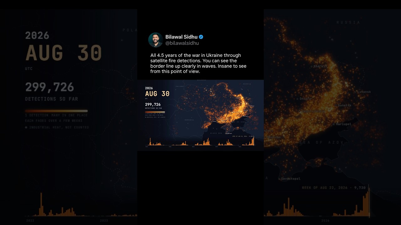
Ukraine War God’s Eye View - 4.5 Years of Satellite Fire Detections
All 4.5 years of the war in Ukraine through satellite fire detections. You can see the border line up clearly in waves. Staggering to see it from this god’s eye point of view.
Do we actually have free will? Or has the future already happened?
Do we have free will or is it all predestined? When you think about observing our lifetime from a higher dimension, you can see everything all at once. This begs the question: Is it sort of like a book where every page and chapter is already written? It's just us experiencing it page by page. Anyone outside of time could jump to the last page and already know the ending. Or is it more like the flow of a river, where life heads in a certain direction but you have some degree of autonomy to choose which embankment you steer towards, whether you flow with the current or against the current? It also makes you think a lot about doing the right thing because if something is outside of time and can see everything everywhere all at once, it means there is quite literally a cosmic audit trail of all our actions and perhaps even our thoughts. It is no surprise that spiritual traditions for millennia have been speaking about this, no matter which one you look at. The thing that feels the least likely to me is the chaotic many-worlds interpretation of there being infinite possibilities. That's where my mind and graphics card completely blows up lol I made this video using the latest techniques in computer vision: 3D reconstructing the environment and then doing 4D reconstructions with per-frame 3D Gaussian splats of videos recorded at different times that can be precisely geolocated to the same 3D model. It can also detect and track entities across time, which is why you see the trails. It's funny how something so technical is making all of us think so philosophically.
How Kurt Vonnegut’s Aliens See 4D Human Existence
Bilawal Sidhu covers: How Kurt Vonnegut’s Aliens See 4D Human Existence.
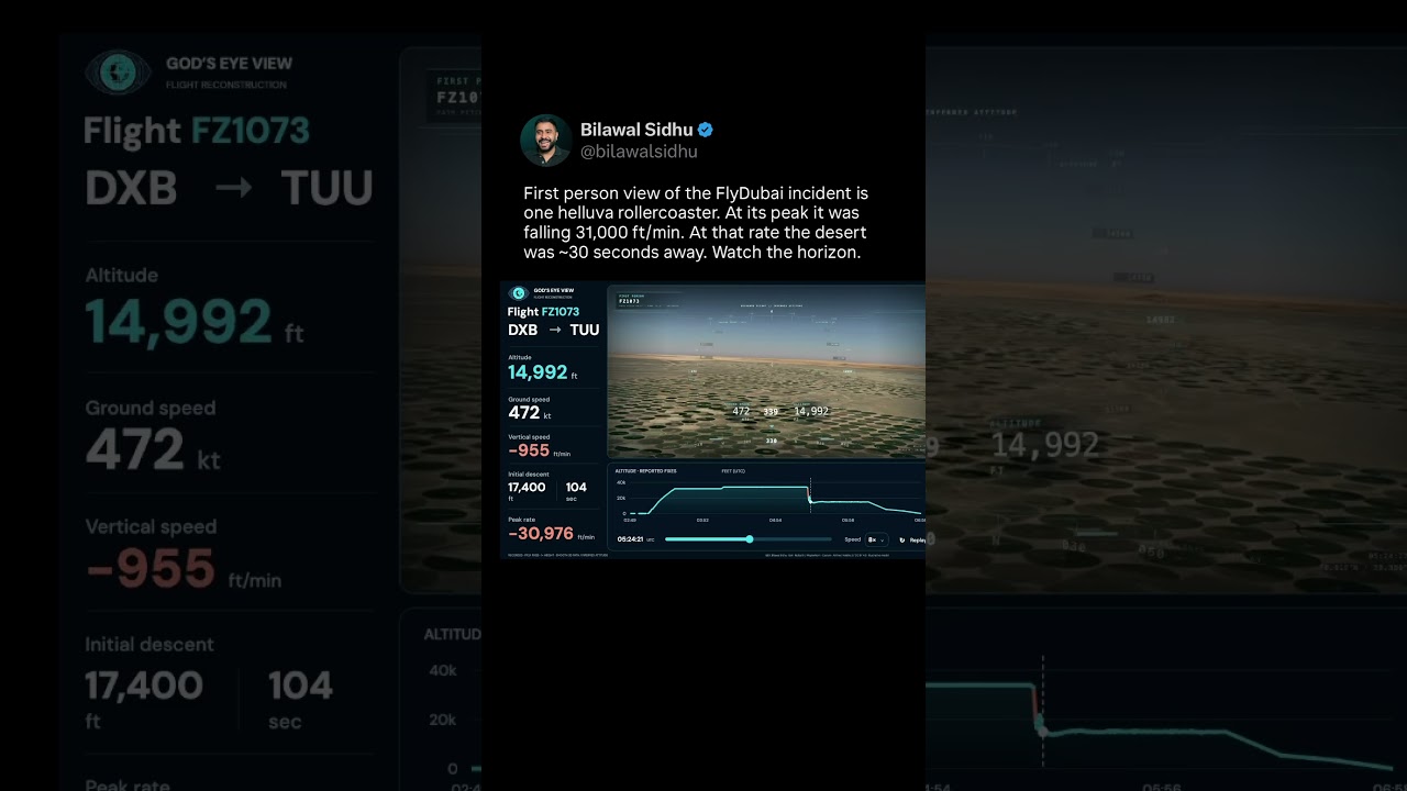
Replaying FlyDubai Attack Using God’s Eye View and Real Flight Tracking Data
Bilawal Sidhu covers: Replaying FlyDubai Attack Using God’s Eye View and Real Flight Tracking Data.
God’s Eye View of Our Entire Lives? Kurt Vonnegut’s Aliens View Us As Great Millipedes
Bilawal Sidhu covers: God’s Eye View of Our Entire Lives? Kurt Vonnegut’s Aliens View Us As Great Millipedes.
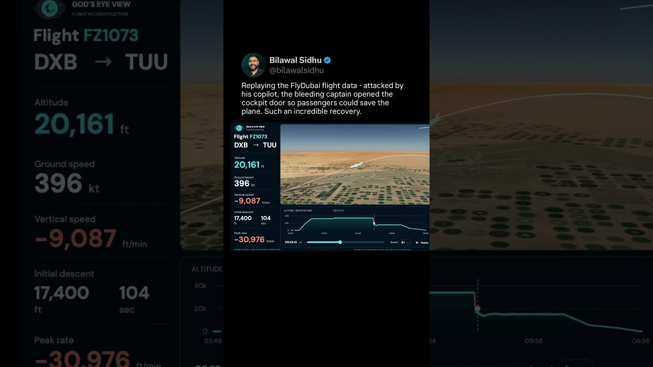
Replaying FlyDubai Cockpit Attack Using Real Flight Tracking Data In God’s Eye View
Bilawal Sidhu covers: Replaying FlyDubai Cockpit Attack Using Real Flight Tracking Data In God’s Eye View.
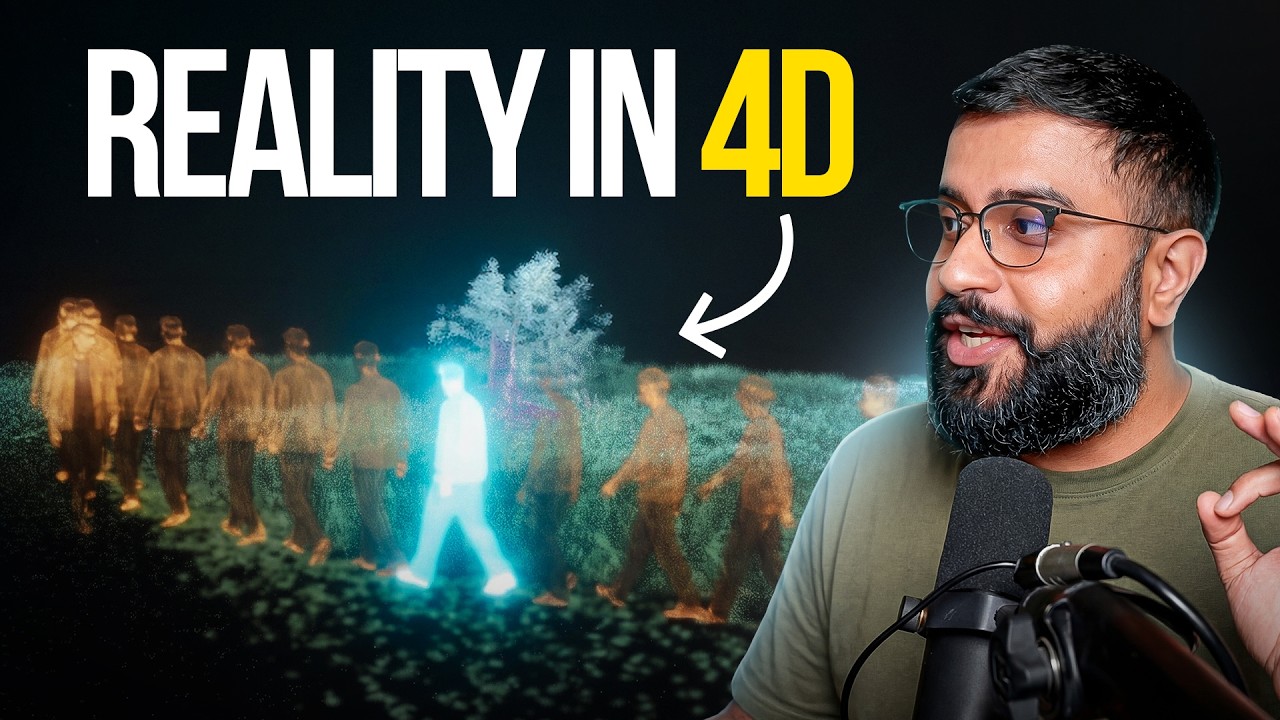
What If You Could See Every Moment at Once?
What if you could see every moment all at once? I turned a mama deer and her babies’ walk into a 4D reconstruction -- and the internet got philosophical. But the deer is just the beginning. We turn photos and videos into
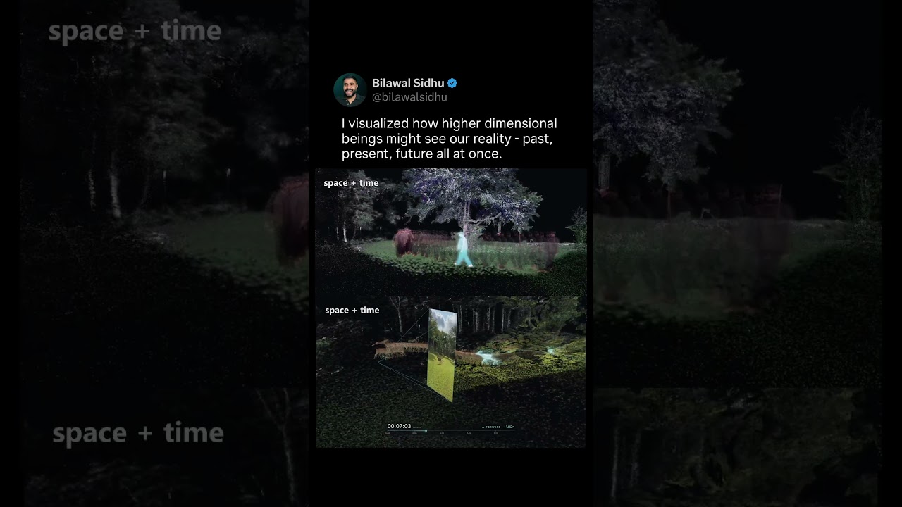
Seeing past, present and future all at once. Is this how higher dimensions might see our reality?
Bilawal Sidhu visualises how a higher-dimensional observer might see past, present and future at once using 3D capture.
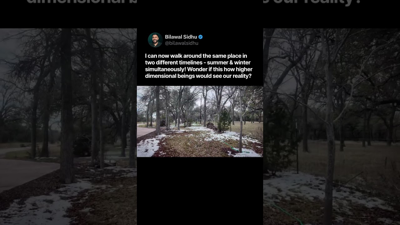
Walking through the same place at two different times - simultaneously summer and winter!
Bilawal Sidhu localises winter footage against a summer 3D scan of the same ranch so viewers walk through two seasons at once.
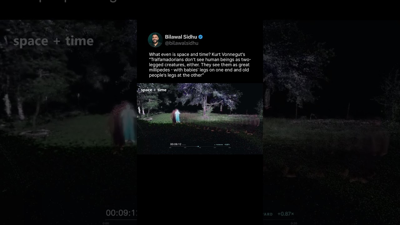
Walking through the world, leaving a 3d snapshot of every moment exactly where it happened
What even is time and space? Kurt Vonnegut's "Tralfamadorians don't see human beings as two-legged creatures, either. They see them as great millipedes - with babies' legs on one end and old people's legs at the other” So here's me walking through the world, leaving a 3D snapshot of every moment exactly when and where it happened. Feels a lot like onion skinning reality (to use the animation analogy). We are beings stuck in the arrow of time - who get momentary glimpses of what it means to
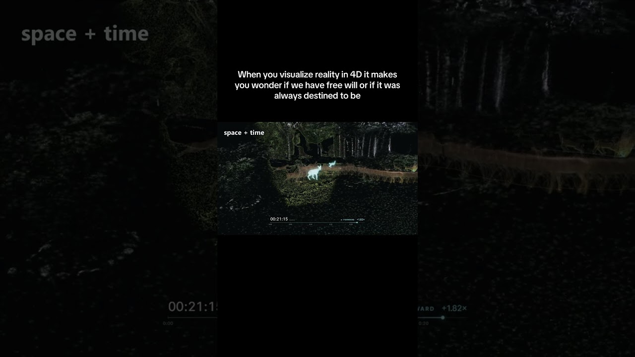
Is this how higher dimensional beings see our reality? 4D reconstruction of space and time
Space and time reconstructed in 4D - y'all asked to see every moment all at once, so here you go. Seeing the full journey like this makes vonnegut’s “great millipedes” immediately click. Makes me go full existential about determinism vs free will. Then I start imagining higher dimensions and parallel timelines and my head explodes, along with my GPU. Also officially my first experiment with opus 5.5
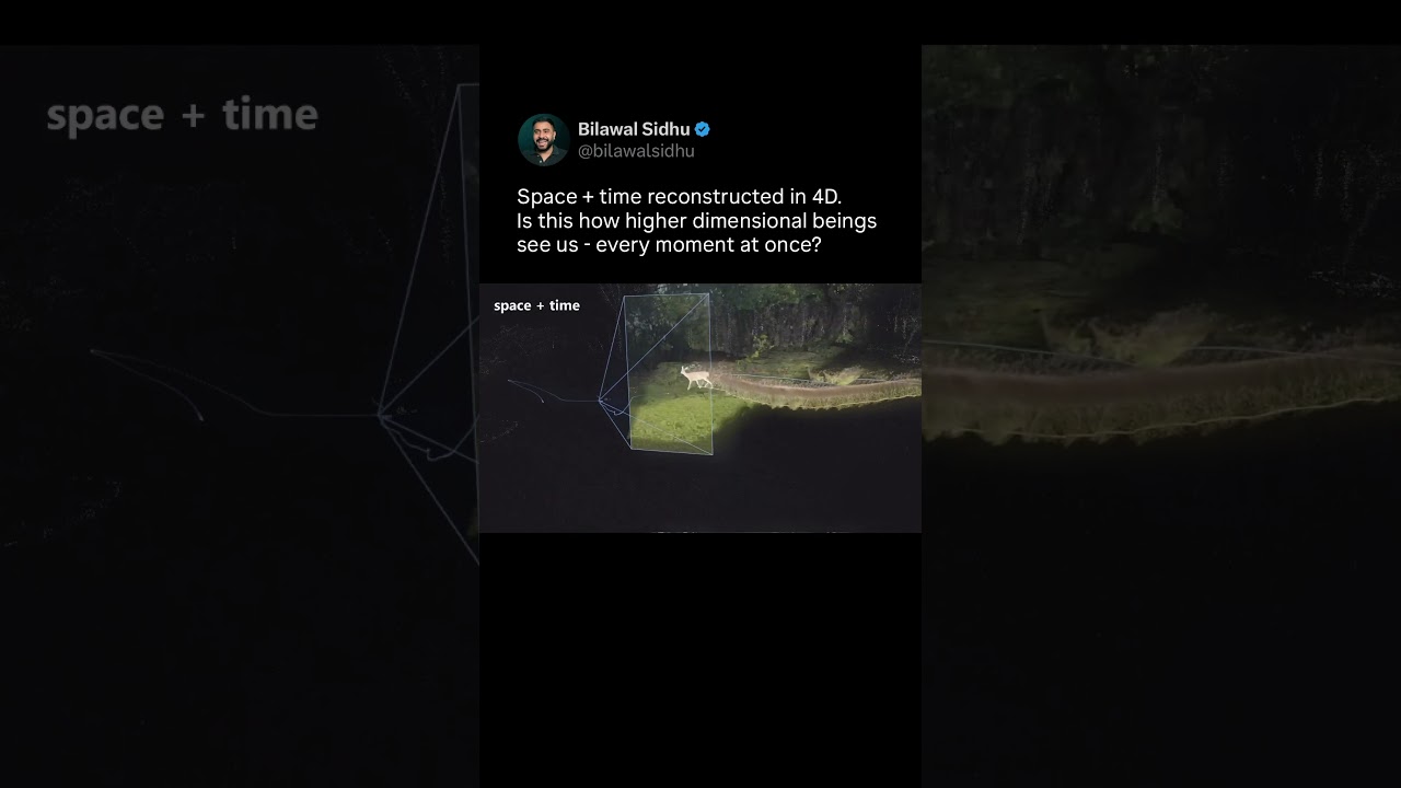
Space and time reconstructed in 4D. Is this how higher dimensional beings see us?
Space and time reconstructed in 4D. Is this how higher dimensional beings see us - every moment at once? Starting to understand what Vonnegut meant by humans being “great millipedes” - clearly it applies to our four legged friends too! Workflow: Geolocated 2d video → per frame 3d gaussians → each left precisely where & when it happened. Let me know what you'd like to see covered in the full
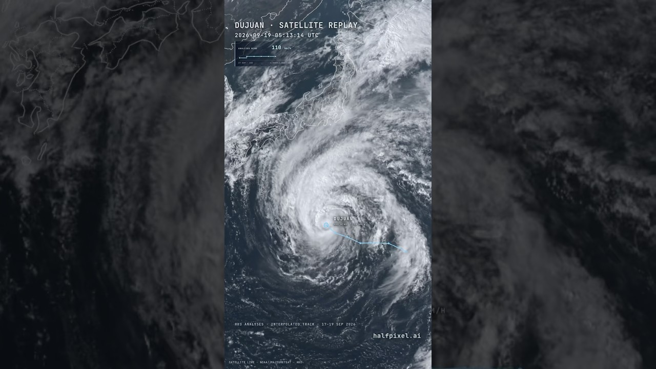
God’s Eye View of Typhoon Dujuan Heading to Japan
Satellite replay of Dujuan becoming a typhoon and heading toward Japan. That’s a big boy! Geostationary satellite imagery + weather data replayed in 4D. It’s insane what you can already do with God’s Eye View (open source on GitHub) - stay tuned for a lot more! We are cooking - there are so many natural phenomena in the world that we need to make better sense of and this is just the start :)
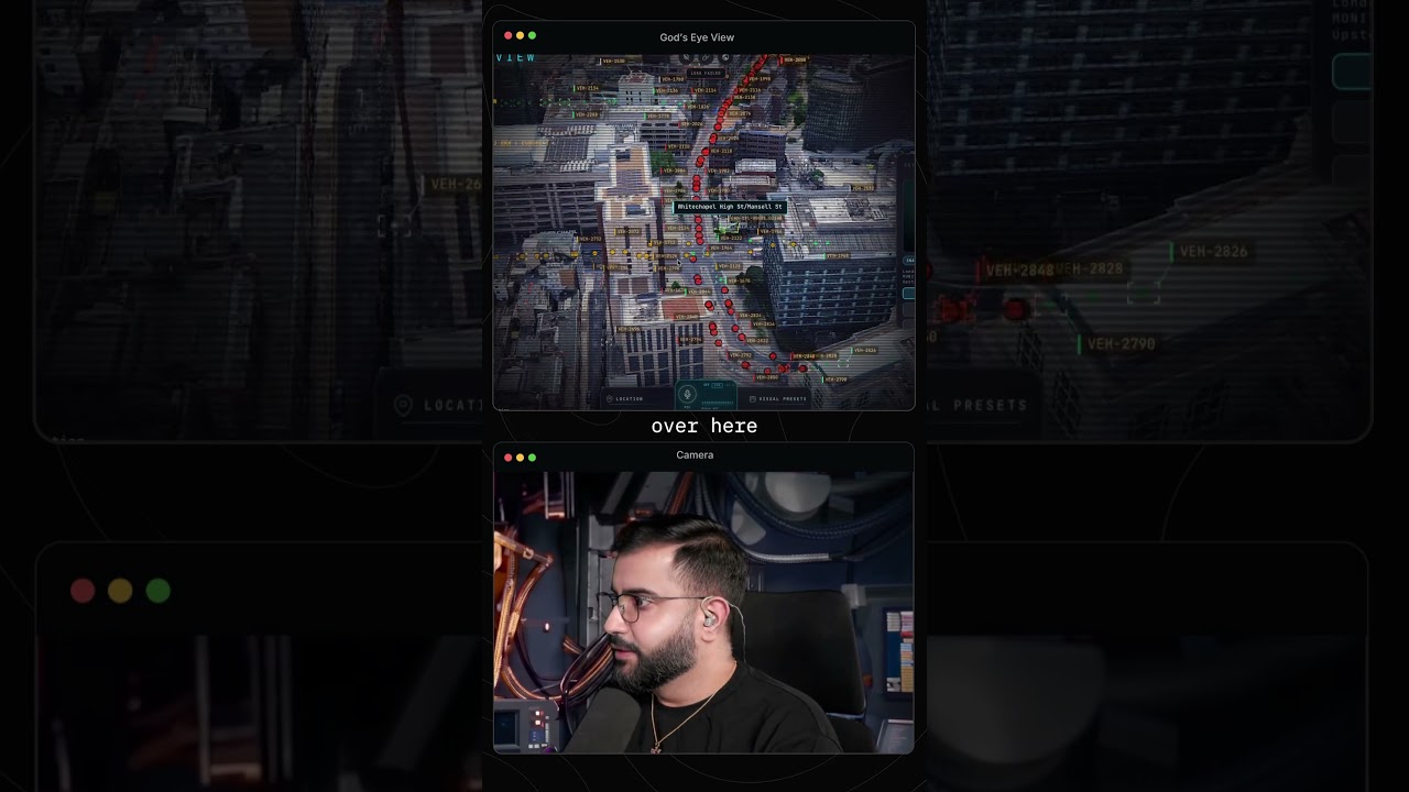
Monitoring Traffic & CCTV with God’s Eye View (Open Source)
This is an open source project that allows you to fuse together publicly and commercially available information to get a God’s Eye View of the world. Using aggregated location data from TomTom, it shows you how busy every street is. In cities like Austin, London and San Francisco, you can go look at actual CCTV cameras to see the real conditions on the ground. It kinda feels like you’re in a tech spy thriller movie, except the data is real and the code is inspectable. MIT license so you open source intelligence and geospatial intelligence nerds can go wild building on it. Already loving the co
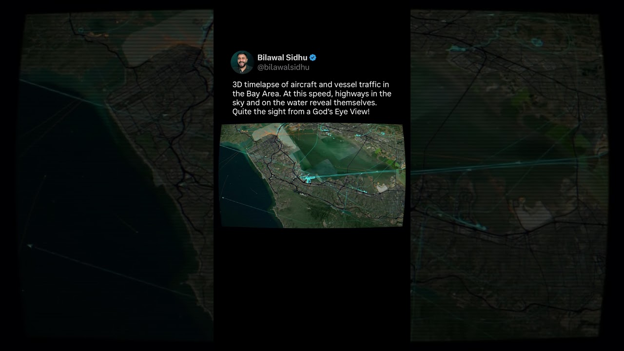
God’s Eye View of Air & Marine Traffic in the Bay Area
3D timelapse of aircraft and vessel traffic in the Bay Area. At this speed, highways in the sky and on the water reveal themselves. Quite a sight from a God’s Eye View! #osint #geospatial #3dvisualization
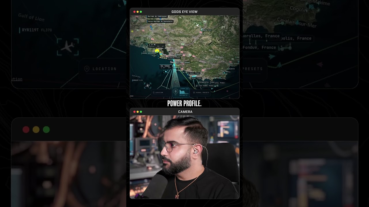
God’s Eye View of Earth’s Digital Nervous System
The digital nervous system of our planet is quite a sight to behold. The undersea cables and data centers that connect all of us, sending this Instagram reel to you and sending our tweets, videos, gaming sessions, and everything, are encompassed by this global infrastructure. It is quite a sight to behold. When we fly over the ocean, we don't realize what's lying deep underneath, but now you can zoom out and get a god's-eye view of the planet's infrastructure. You can then zoom in anywhere and ask questions about it. For instance, did you know that France is an extremely popular destination fo
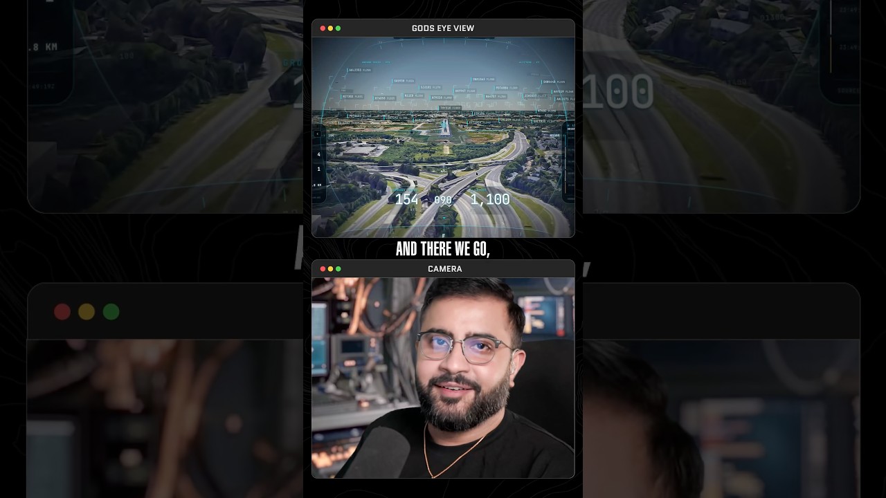
Fun Facts About Delta Airlines. God’s Eye View Voice Mode Is Too Much Fun. Ask The World Anything!
One of my favorite things to do in God's Eye View is to track planes making landings at airports and see them from the cockpit view in real time. It's a super magical perspective to get, kind of like a flight simulator but applied to real-world data. Since you've got voice mode, you can ask it to get really interesting facts about the airport you're in, as well as airlines. For instance, did you actually know that Delta Airlines started as a crop-dusting company? That is absolutely nuts to me,
Area 51 Easter Egg in God’s Eye View (TR-3B Triangle Craft)
Gods Eye View is open source on GitHub but there are a lot of features that you may not know about. Fun little Easter egg for y'all, especially the UAP, UFO, and aviation nerds out there. When you go to an area and see a live contact, you can click on it in the contacts menu and hit the little UFO i
Nepal Floods Reconstructed With God’s Eye View (Open Source)
You can use open-source tools and publicly available data to create detailed reconstructions of events in the physical world, such as environmental disasters like the one that just took place in Nepal. Satellite imagery providers open up imagery for disaster response. A massive glacier collapse on Langtang Lirung on August 26 2026, triggered a catastrophic flash flood and debris flow along the Nepal-China border. You can measure the seismic activity using open-source data. You can go a step further and use AI agents with tools like God's Eye View to create a minute-by-minute reconstruction of what actually went down, not only to understand what happened but to aid in recovery efforts. It's remarkable what capabilities we have access to today that were limited to large corporations and powerful entities even a decade ago. Tools in geospatial intelligence and open-source intelligence can be daunting. My hope is that God's Eye View can be a good entry point for everyone wanting to learn about the intersection of these fields and start building themselves on a completely open-source MIT-licensed foundation. And yes I haven't forgotten all of you that are asking for a hosted version. Trying to work on that too
3D Scan of Amazon Prime Air Crash Site In Miami By Reconstructing NTSB Footage
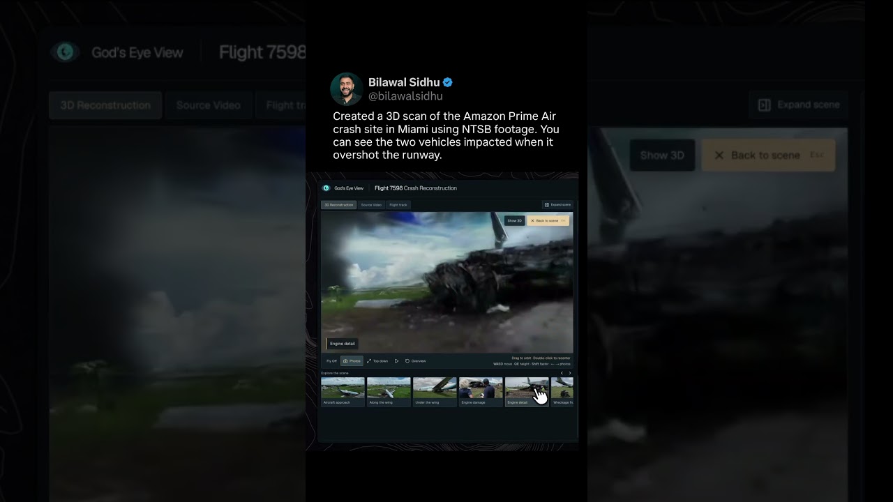
Created a 3D scan of the Amazon Prime Air crash site in Miami using newly released NTSB footage. You can see the two vehicles impacted after 21 Air Flight 7598 overshot the runway, and the skid marks leading up. Explore the 3D gaussian splat, site photos, and replay the landing with flight tracking data and ATC audio. Made with COLMAP, LichtFeld Studio, God's Eye View and Astra.
God’s Eye View Blew Up. Here's What You Can Do With It.
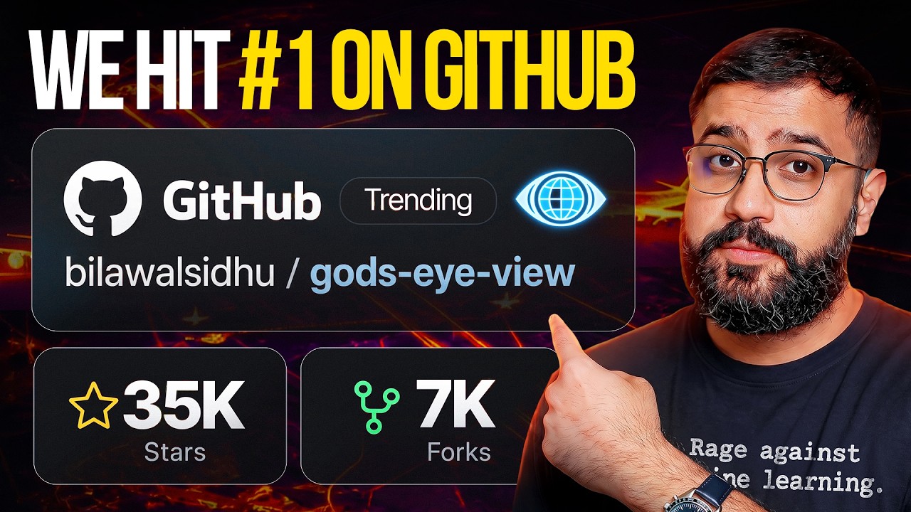
God’s Eye View blew up and hit #1 on GitHub Trending. Two big questions keep coming up: how do I run it if I’m not a coder, and can you give me a proper walkthrough? This is the walkthrough. We go from getting it running on your computer to tracking aircraft and ships, riding along in a cockpit, exploring public cameras, and controlling the globe with your voice. I also show you how to record camera tours, explore fires, earthquakes and the physical internet, and start building your own too...
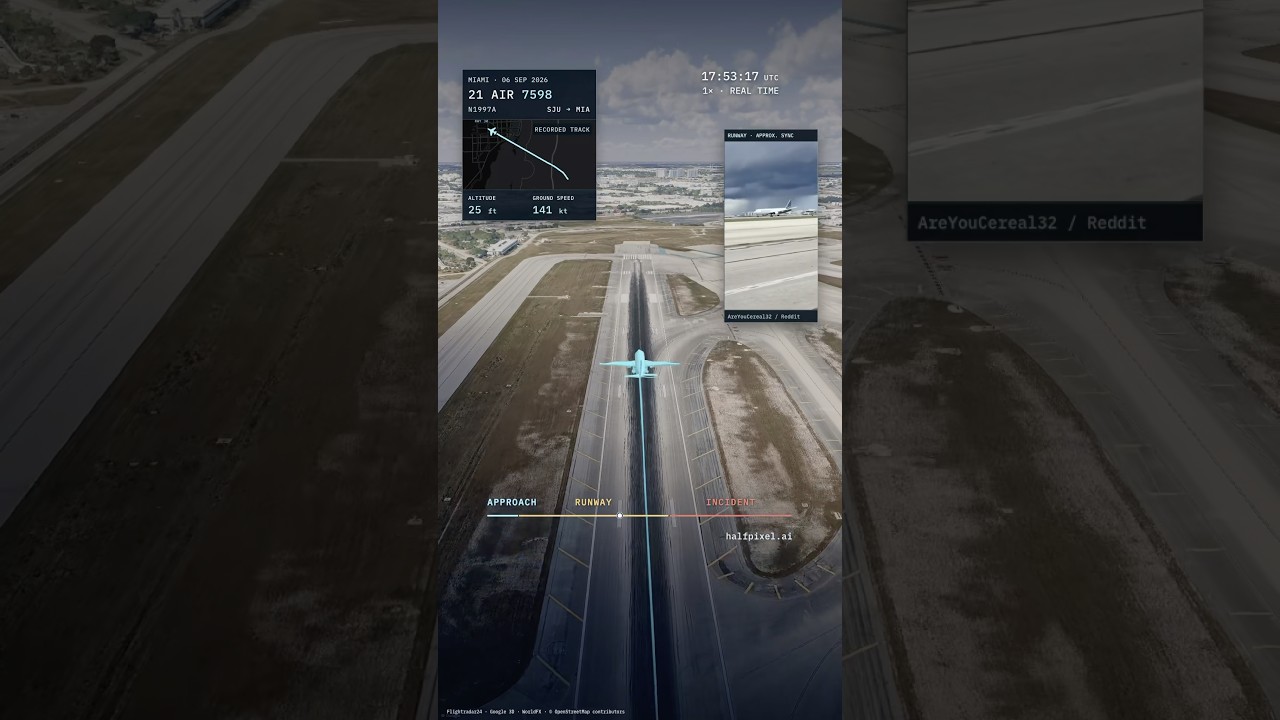
4D Replay of Amazon Prime Air Crash in Miami (Flight 7598)
4D reconstruction of the Amazon Prime Air cargo plane crash at Miami International Airport. You can see the plane overrun the end of Runway 30, cross the airport perimeter, and come to rest roughly 1,300 feet beyond the paved surface. Built using public flight data, eyewitness footage, and ATC excerpts. Precise cause is still TBD per today’s NTSB update.
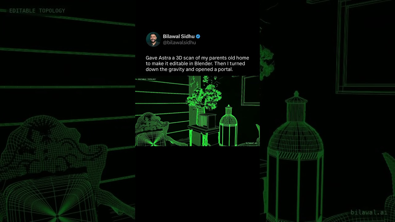
Used Astra to make a 3D scan an editable in Blender. Then turned down the gravity & opened a portal.
Gave GPT-6 Astra a 3D scan of my parents old home to make it an editable scene. Then I turned down gravity and opened a portal. Turns out multimodal LLMs might have crossed the chasm on inverse graphics. Tremendous implications for everything from VFX and AR/VR to robotics. Process: ~400 2D photos I took in 2019 went through RealityScan and became a photogrammetry mesh. That’s the classical reconstruction step. Then I dropped that mesh into Blender and used Astra to turn it into a fully editable, cleaned up 3D scene. Asked it to use textures from my photo scan and create procedural 3D shaders for the rest. It's good but it’s definitely not perfect -- funny thing is some of the mistakes are inherited from the reference mesh RealityScan produced i.e. the bird statue’s legs, contours of the furniture etc. This is where humans still have much better “spatial autocomplete” and can take an output like this all the way. My next step will be to see if I can let it use CUA with the photoscan software to interactively reference the source pixel imagery and refine its work in Blender and get even closer to reality.
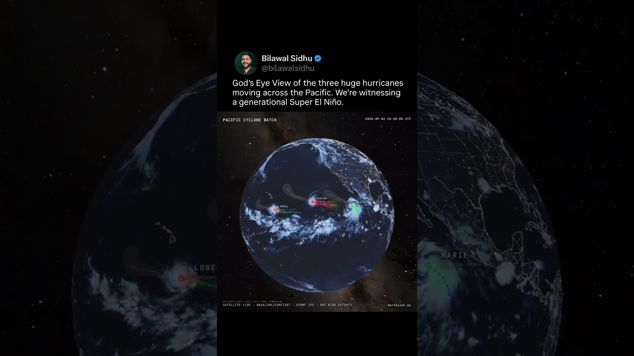
God’s Eye View of Three Hurricanes in a Super El Niño (Marie, Karina and Lowell)
Built this to monitor the trio of powerful hurricanes fueled by a generational Super El Nino. Watch Marie, Karina and Lowell slowly move westward across the Pacific Ocean, including Lowell rising to Category 5. Replay using real geostationary satellite imagery + ECMWF winds + official NHC tracks of where the storm was and where it might go. God's Eye View is just the beginning.
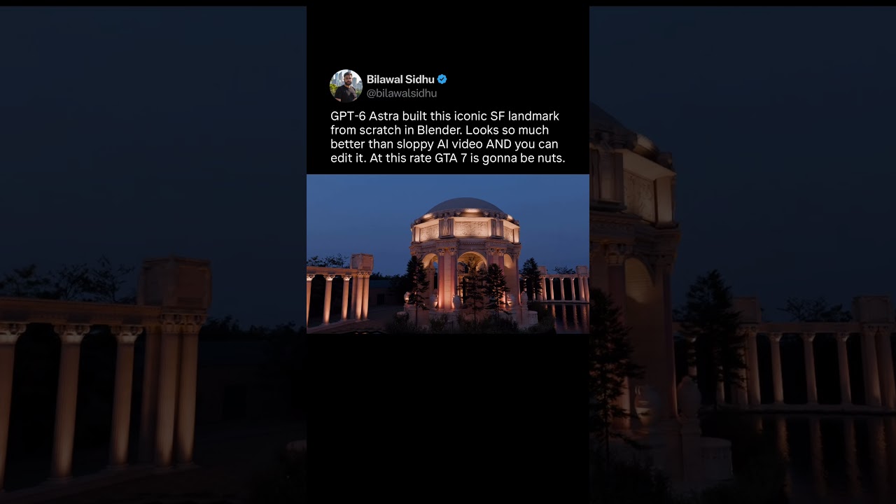
GPT-6 Astra modeled this from scratch in Blender. Just imagine what GTA 7 will look like.
GPT-6 made this iconic SF landmark from scratch in Blender. Turning real world 3d scans with messy topology into procedural 3d scenes (modeled like a human artist would have) has been a tall order. But Astra seems to have cracked it. MSFT flight sim does a basic version of this using 2d satellite imagery and a building grammar system - but it only looks decent from the air, and quickly falls apart when you get to the ground. If this technique scales, you could get GTA level 3d detail at street level for the whole world. Just give coarse 3d scans and ground level photos as reference. The implications are nuts for everything from gaming to defense. Video by Sharif Shameem at OpenAI.
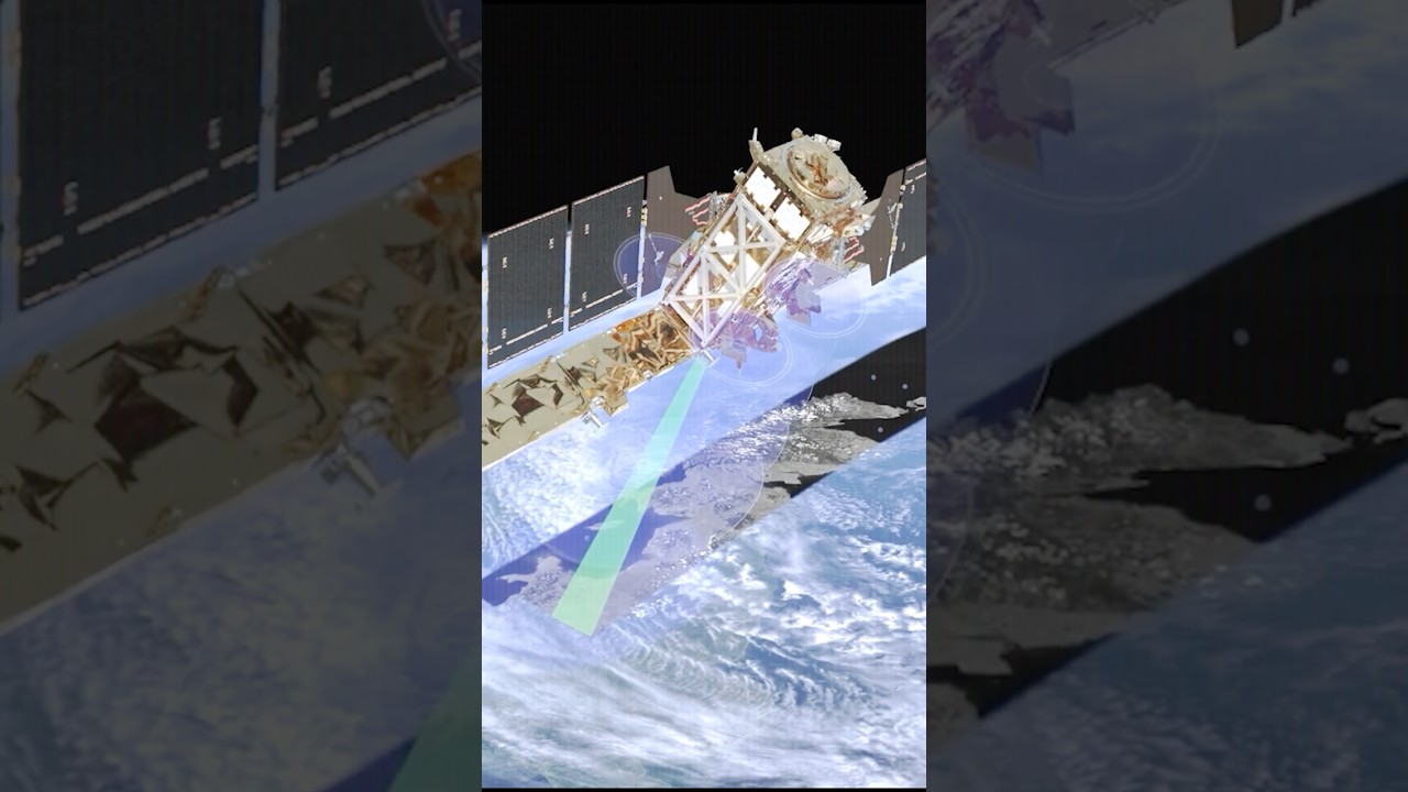
Synthetic Aperture Radar can see through clouds at night and track vehicles from space
Synthetic Aperture Radar is fascinating technology. A lot of it is open source but the really high-end stuff is commercial or nation-state territory. It's capable of seeing at night, seeing through clouds, and tracking the subtlest vehicle movements or airplanes. It is an absolute beast at change detection at scale. It can even tell you which bridges are about to collapse and where landslides are about to happen. Because of the beauty of NASA and the ESA, a lot of the data is publicly accessible. If you want to learn more about this technology, it's quite a fun rabbit hole to go down. It just goes to show how far geospatial technology is going and how it's getting breathed with new life thanks to artificial intelligence.
Seeing Through Walls Using Radio Waves
If I told you that you could see through walls, would you believe me? Turns out radio frequency sensing signals that we use to communicate can now be used to map the world in immaculate detail. We can use it to detect change, measure heartbeats, and identify individuals. It's extremely powerful, like that scene from Batman where he uses every single cell phone device as a sonar to find the Joker. That's becoming more and more like reality. A lot of the discourse online seems to get into hyperbole but there is a foundation of real research, which is what we'll get to in the short and the full video from the lineage of DARPA projects to the patents underpinning them, as well as the latest cutting-edge research that's making consumer and enterprise applications increasingly science fiction today
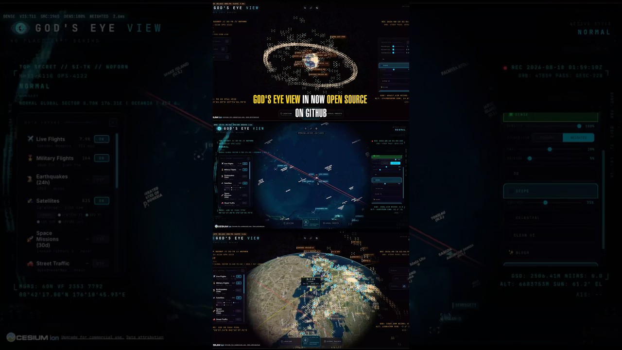
God’s Eye View Now Has a One-Click Installer on GitHub
God’s Eye View is an open source project takes the world's open and commercial data and fuses it together to give you a single pane of glass that tells you the real-time location of satellites, planes, vessels, plus recent data on fires, earthquakes, and so much more. You track a plane or vessel. You can see everything in that area in a 250 km radius. You can jump into cockpit mode and see the view from any airplane that's currently in flight. I intentionally made this project open source so you all can build on top of it and suggest new functionality to create as a community. Let us work together to make the window through which we see the world. #osint #futuretech #aitools #opensourcesoftware
This open source app gives you a god’s eye view of the world
Gods-eye view is an interesting tool because it feels like a spy satellite simulator where you can jump from a satellite to a drone to an airplane to the ground to a CCTV camera. It feels like watchdogs in a sense. Here's the crazy part: the underlying data is real, fusing together dozens of data sources that are publicly available and then a few that you can cheaply pay for to get as close to a command center in the comfort of your living room
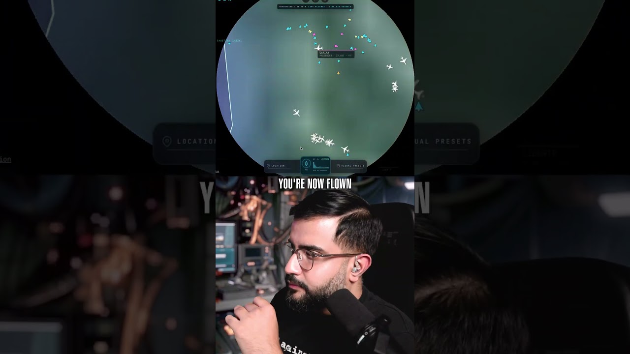
God’s Eye View Now Has Voice Mode. Ask The Planet Anything!
This is an open source project that allows you to fuse together publicly available information to get a God’s Eye View of the world. It pulls together open sources for satellite, vessel and plane tracking. It shows you how busy streets are and even gives you access to municipal cctv cameras that are open to the public. It truly feels like you’re in a spy thriller movie, except the data is real and the code is inspectable. MIT license so you can build on it.
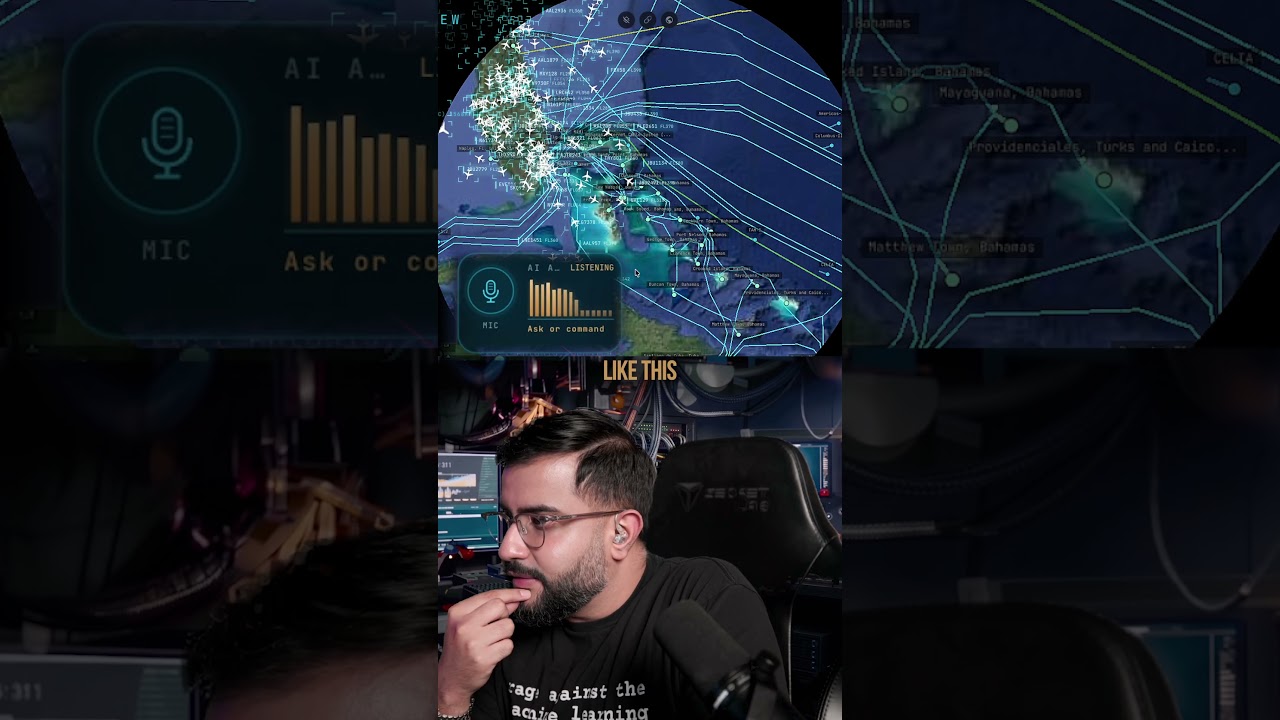
A God's Eye View of the Internet's Secret Geography
Exploring why there are so many undersea cables in the Bahamas, as well as the connectivity in the Southeast Asian region. All of this beautiful infrastructure connects the world of bits and atoms. It's quite marvelous to see as planes fly overhead and vessels navigate the sea. It feels like a living, breathing digital twin of all civilization. God’s Eye View V1 is open source. It feels like a spy simulator in your browser -- except the underlying data is real, and you can talk to the planet too. Track planes, ships, satellites, traffic cameras, and critical infrastructure. Use voice mode to ask what’s happening, annotate the 3D world, or jump into a plane’s cockpit. Already a ton to explore. Code is MIT licensed, so add new layers, extend the voice agent, break things, and show me what you cook.

Monitoring Rush Hour Traffic with God's Eye View (open source)
This is an open source project that allows you to fuse together publicly available information to get a God's Eye View of the world. Using aggregated location data from TomTom, it shows you how busy every street is. In cities like Austin and London, you can go look at actual CCTV cameras to see the real conditions on the ground. It truly feels like you're in a spy thriller movie, except the data is real and the code is inspectable. MIT license so you open source intelligence and geospatial intelligence nerds can go wild building on it. Get it here: https://github.com/bilawalsidhu/gods-eye-view
God's Eye View is open source. Feels like a spy simulator in your browser - except the data is real.
God’s Eye View V1 is open source. It feels like a spy simulator in your browser -- except the underlying data is real, and you can talk to the planet too. Track planes, ships, satellites, traffic cameras, and critical infrastructure. Use voice mode to ask what’s happening, annotate the 3D world, or jump into a plane’s cockpit. Already a ton to explore. Code is MIT licensed, so add new layers, extend the voice agent, break things, and show me what you cook.
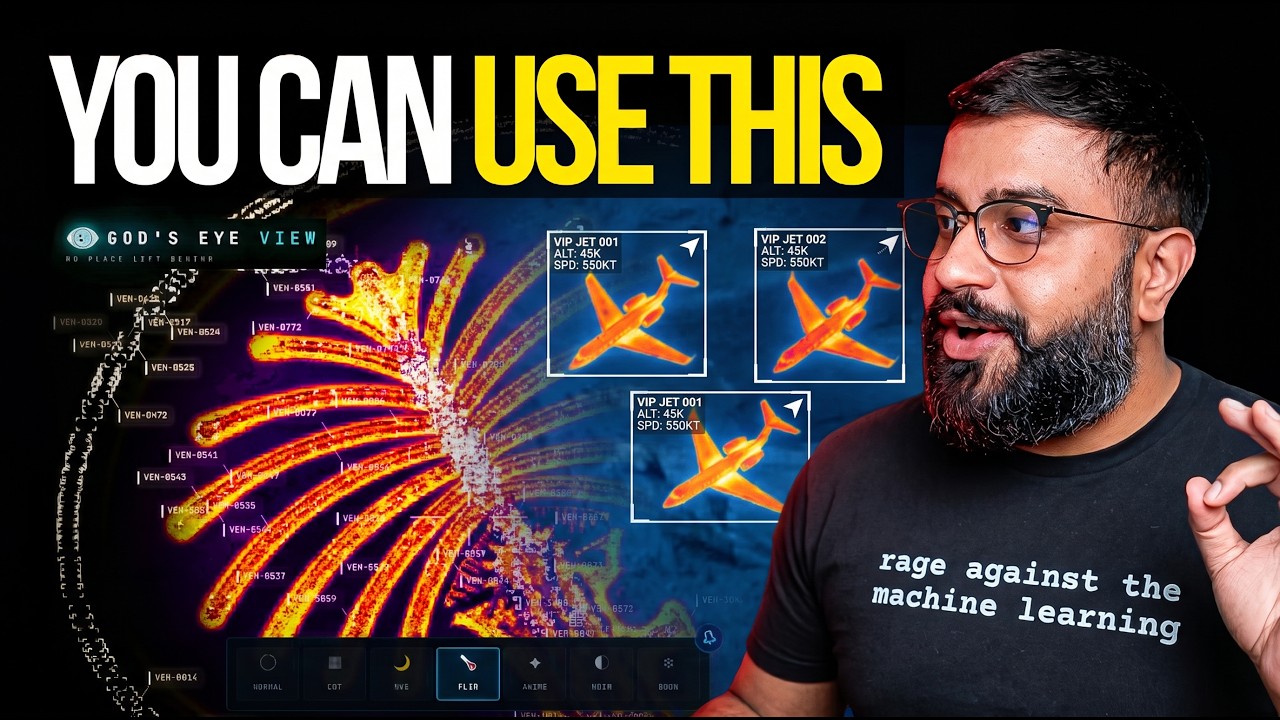
Ex-Google Maps PM Open Sources God’s Eye View
You asked, so it’s happening. God’s Eye View (formerly known as WorldView) is now open source. Get the code for V1 → https://github.com/bilawalsidhu/gods-eye-view Live open source spatial intelligence on a photorealistic 3D globe. Half the magic is that it feels like a forbidden cockpit -- then you realize the sources are public and the code is inspectable. It started as a slightly ridiculous question: how much of the planet can you make sense of from public data and a browser tab? Once aircraf
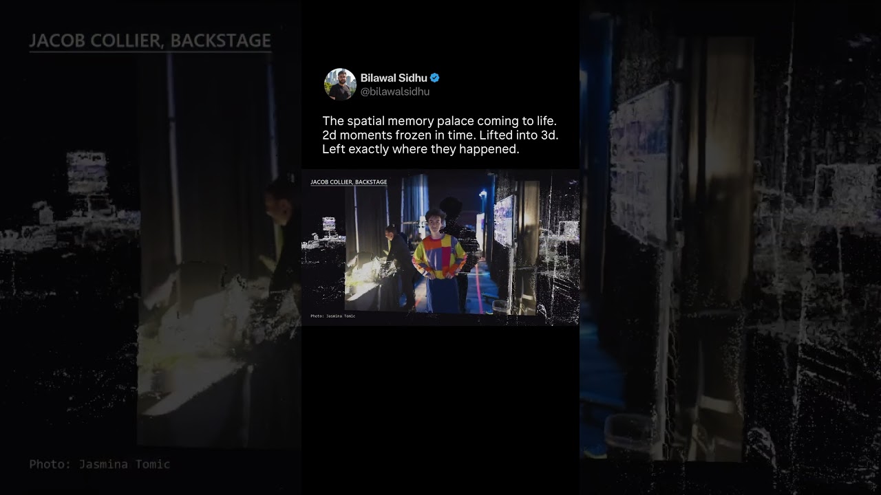
Turning 2D Photos Into 3D Holograms. The Spatial Memory Palace Is Coming To Life!
Hundreds of 2d photos lifted into 3d. Left exactly when and where they happened at TED. Now I can fly through this spatial memory palace and jump between moments -- from the green room to backstage to the main stage. Imagine your entire camera roll coming to life like this. #photogrammetry #computervision #augmentedreality
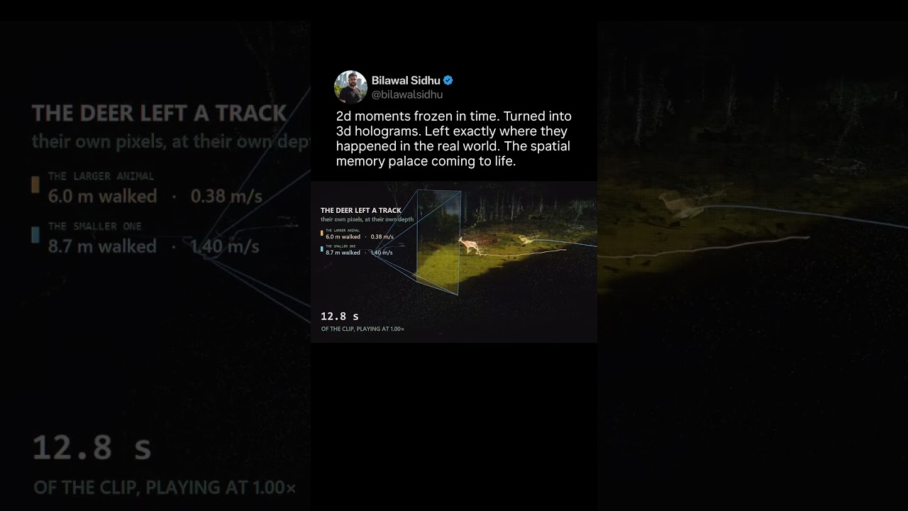
2d moments frozen in time. Turned into 3d holograms. Left exactly where they happened IRL.
Can you imagine when your entire camera roll comes to life like this? Excited baby deer startles mama deer momentarily, who then chills out after :) 2d moments frozen in time. Turned into 3d holograms. Left exactly where they happened in the real world. The geospatial memory palace coming to life. It reminds me of echoes from the video game The Division or brain dances in Cyberpunk 2077 or heck holograms in your favorite Black Mirror episode. It's really quite insane what you can make with tools like Codex, Claude, and a mix of tried and tested computer vision techniques and the cutting edge in perception AI research. #ai #computervision #augmentedreality
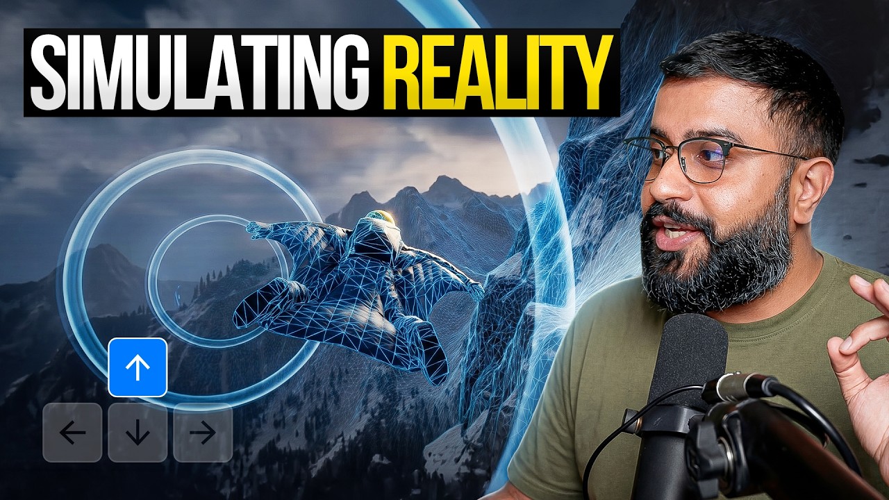
AI Video Is Becoming a World Simulator
AI video models are beginning to simulate the physical world without calculating every interaction like a traditional game engine. By predicting the next frame from internet scale video data (think YouTube!) these models can learn an implicit approximation of how objects move, collide, deform, and p
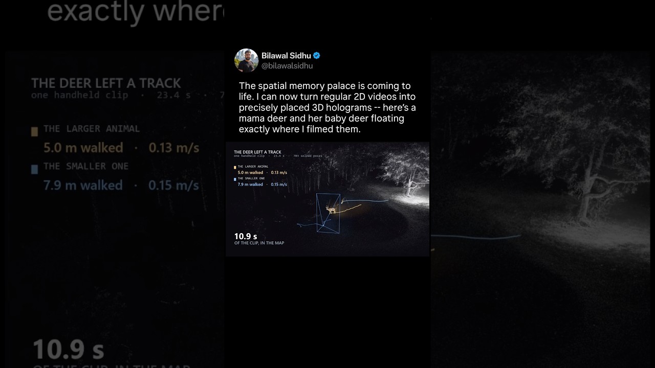
Turning 2D Videos Into 3D Holograms. The Spatial Memory Palace Is Coming To Life!
What if every video you ever shot could turn into a permanent 3D hologram in the exact place it happened? I did it with photos first. Now I can do any video clip. Here’s a mama deer and her baby, filmed on my iphone a few days ago — now floating in the spatial memory palace exactly where I captured
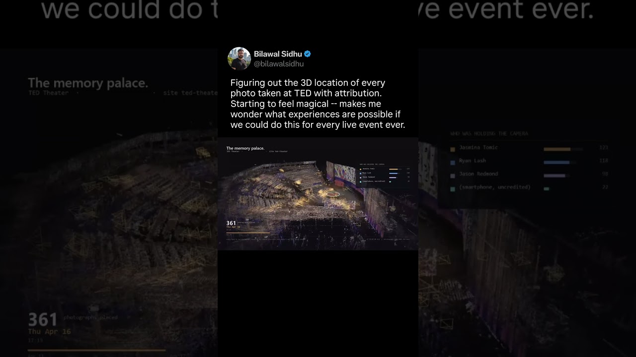
Figured out the 3d location of every photo taken at TED with attribution
Progress update: figuring out the 3D location of every photo taken at TED with attribution. It's starting to feel magical -- makes me wonder what experiences are possible if we could do this for every live event ever. It feels like PhotoSynth on steroids, or my biggest inspiration - university of Washington’s building Rome in a day computer vision paper. After that I can project any 2d image ...
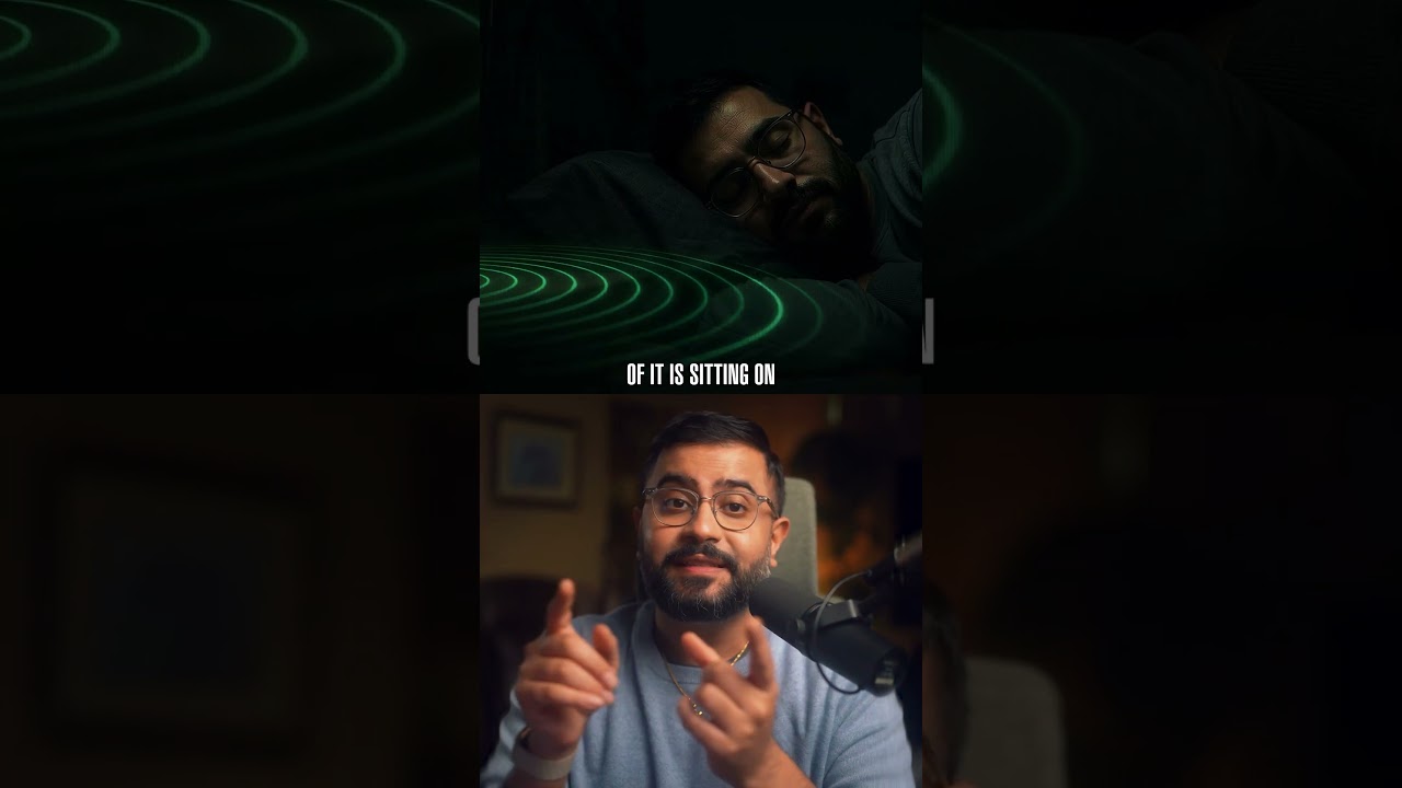
AI Can Use Radio to “See” You Through Walls - Here’s How This Tech Works
radio frequency is absolutely fantastic. It is giving AI the ability to see reality using radio frequency signals. You can make the unseen seen again and manifest the invisible spectrum to humans as something machines can decode and use to detect, track, and map the world. That includes your heartbeat, which is a little bit chilling. It can see you through a wall, it can even see you through a city, and it can map the vegetation and penetrate it. It's a wide spectrum and here are all the applications mapped out in my new deep dive. Check out the link video inside the YouTube short for more
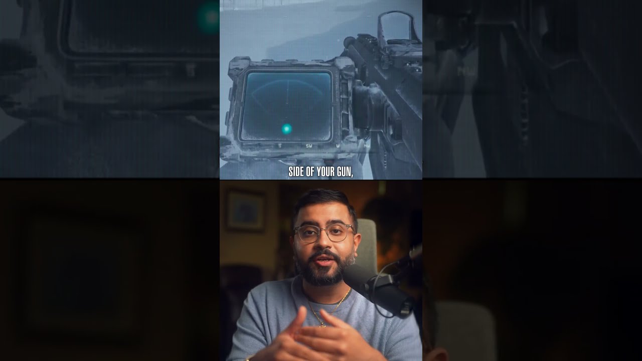
Radio Can See Through Walls And Measure Your Heartbeat. Here’s How.
The Call of Duty heartbeat sensor is real. Radio waves were built to carry information. Now AI is learning to read the physical world hidden inside their reflections. I trace the lineage of RF sensing from to the Army-funded Sense Through the Wall program and Biometrics at a Distance -- plus research that pulls breathing, heartbeat, pose and identity out of thin air. The same physics now drives $30 radar chips and telco patents for scanning environments with the cellular network itself: 5G/6G ISAC aka. integrated sensing and communication. The goal is mobile infrastructure that senses drones, robots, traffic and weather -- a real-time map of the physical world. No cameras required. Become a member to support the channel: https://www.youtube.com/channel/UC7bGK0A1weWfNaRfO0hGVdg/join
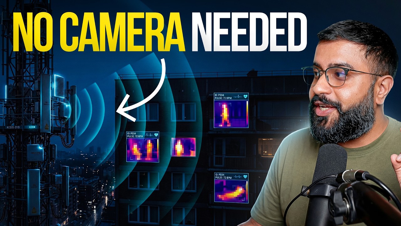
AI Can See Without Cameras. WiFi Was Just the Beginning.
Radio waves were built to carry information. Now AI is learning to read the physical world hidden inside their reflections. The same basic idea behind Call of Duty’s heartbeat sensor already exists in soldiers’ kit bags, Google’s Nest Hub, cheap radar boards—and, at a much larger scale, the cellular networks spreading across entire cities. This video traces the lineage RF sensing from the Army-funded Sense Through the Wall program and biometrics-at-a-distance research, through public studies that can measure breathing, heartbeats, location, pose, emotion and identity, to Google Soli, Reliance Jio’s 26 GHz rollout and T-Mobile’s patent for environment scanning with a cellular network. Then we examine Ghost Murmur -- the disputed report that quantum magnetometry helped locate a downed US airman in Iran. The rescue and the CIA’s reference to “exquisite technologies” are on the record; the alleged sensing method and range remain contested. The larger shift is legit -- radio is quickly becoming a sensing medium as much as a communications medium. With AI, the same infrastructure can communicate with the world and perceive it -- at room, building and city scale. No camera required. The inevitable implications of this tech is what we'll explore. Watch my original WiFi sensing video: https://youtu.be/0OdR8rRMz3I Watch my synthetic aperture radar (SAR) video: https://youtu.be/UKLuei1CnZY Chapters: 00:00 The Heartbeat Sensor Is Real 00:53 How Radio Sees You 01:12 Sense Through the Wall 02:12 Biometrics at a Distance 02:46 Your Heartbeat Is an ID 03:28 Five Layers of RF Sensing 07:10 Radar on Your Bedside Table 08:42 Why India Blocked the Pixel 4 09:14 From Phone Radar to City-Scale Sensing 10:17 The $22 Version 11:33 The Ghost Murmur Mystery 13:48 What Radio Waves Really See Key research & sources: Sense Through the Wall radar patent: https://patents.google.com/patent/US20110025546A1/en US Army: Soldiers See Through Walls: https://www.army.mil/article/32868/soldiers-see-through-walls/ Biometrics-at-a-Distance program: https://www.sbir.gov/awards/142821 DHS Portable Signs of Life Identifier survey, including Jetson: https://www.dhs.gov/sites/default/files/publications/portable_signs_of_life_updated-508c_v3.pdf Through-wall heartbeat detection using single-channel 24 GHz radar: https://pmc.ncbi.nlm.nih.gov/articles/PMC10847523/ Millimeter-wave human detection and localization in complex indoor environments: https://doi.org/10.3390/rs16142572 Millimeter-wave emotion-recognition dataset: https://www.nature.com/articles/s41597-026-07159-6 RDGait single-chip radar identity research: https://doi.org/10.1145/3678552 MIT Vital-Radio: https://people.csail.mit.edu/hongzi/content/publications/VitalRadio-CHI.pdf Google Soli / Motion Sense: https://blog.google/products-and-platforms/devices/pixel/new-features-pixel4/ Google Nest Hub Sleep Sensing: https://support.google.com/googlehome/answer/10357288 Reliance Jio 26 GHz mmWave rollout: https://www.ril.com/news-media/press-releases/jio-announces-nationwide-rollout-5g-based-connectivity-using-26-ghz-mm T-Mobile patent — Environment Scanning Using a Cellular Network: https://patents.google.com/patent/US11698453B2/en Ghost Murmur technical analysis: https://www.scientificamerican.com/article/what-is-the-quantum-ghost-murmur-purportedly-used-in-iran-scientists/ AP reporting on the rescue and “exquisite technologies” statement: https://apnews.com/article/7d8cfb6d0fd400abdc71f8c9d67408fe -- Subscribe for more in-depth AI & creative tech videos! 👉 @bilawalsidhu Join My Newsletter: https://spatialintelligence.ai Connect with me on X/Twitter here: https://x.com/bilawalsidhu Everywhere else here: https://bilawal.ai Business inquiries: [email protected] Bio: Bilawal Sidhu is a creator, engineer, and product builder obsessed with blending reality and imagination using art and science. Bilawal is the technology curator for TED Talks, and a venture scout for Andreessen Horowitz. With more than a decade of experience in the tech industry, he spent six years as a product manager at Google, where he worked on spatial computing and 3D maps. His work has been featured in major publications including Bloomberg, Forbes, BBC, CNBC, and Fortune, among others. Bilawal’s journey into computer graphics began at 11, when he fell in love with seamlessly blending 3D into real life footage. Since then, he's captivated over 1.5M subscribers, garnering more than 500M+ views across his platforms. Driven by a mission to empower the next generation of artists and entrepreneurs, Bilawal openly shares AI-assisted workflows and industry insights on social media. When he’s not working, you can find Bilawal expanding his collection of electric guitars. TED: https://www.ted.com/speakers/bilawal_sidhu
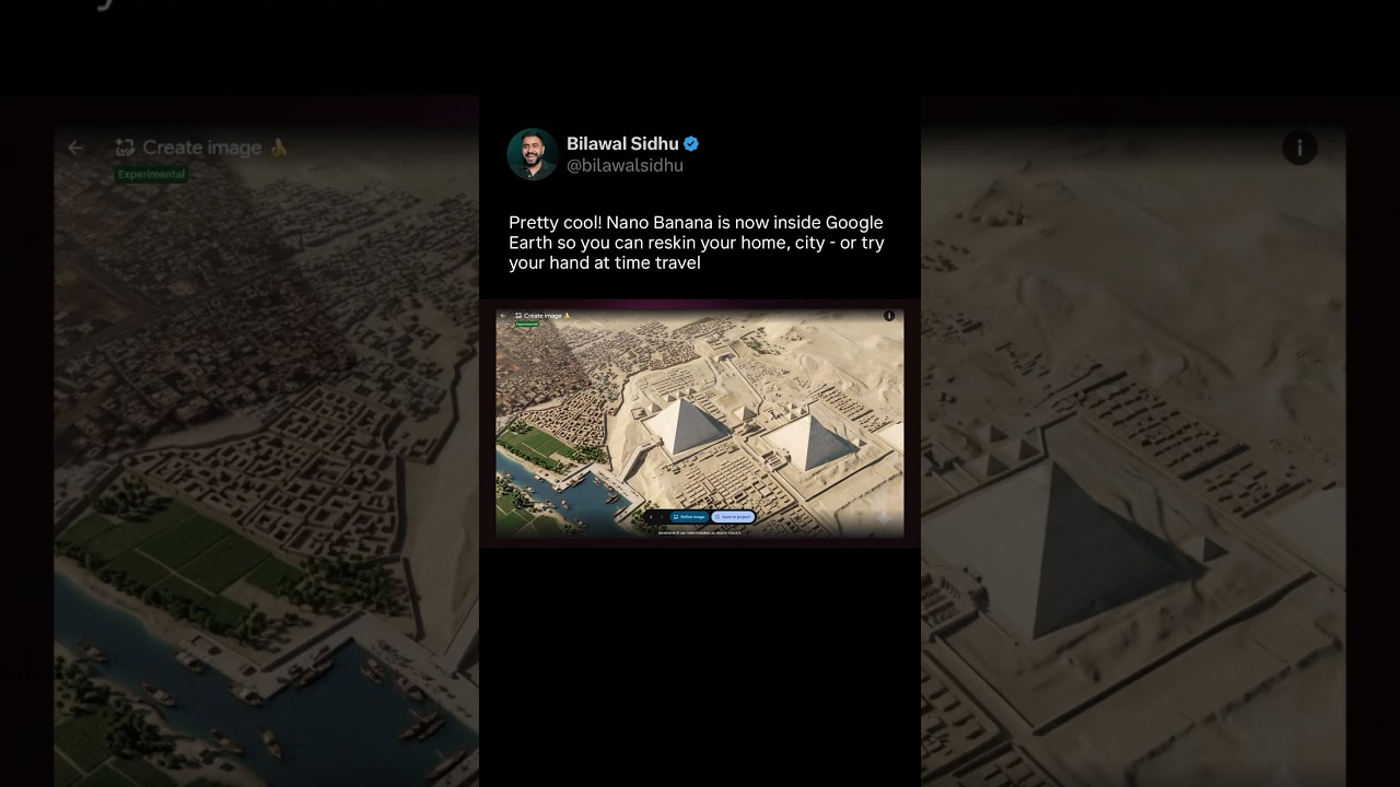
Nano Banana Is Now Inside Google Earth!
The amazing image editing model, NanoBanana, is now available inside Google Earth. What this means is you can take real-world imagery, satellite, and aerial 3D imagery and reskin it to your heart's content. This is particularly cool for use cases where, let's say, you want to remodel your home. You zoom into your home and now you can easily prompt it. You can also restyle a city, make it look like daytime or nighttime, and even try doing advanced visual effects. Finally you can even try your hand at time travel. This is particularly cool because it leans on the world knowledge of the Gemini model and allows you to creatively reimagine what real-world locations might have looked like in the past. Anyway this is a super popular workflow I've covered in previous videos but now you get it all directly inside of Google Earth. Pretty cool
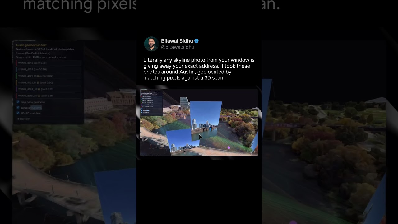
VPS is nuts. I geolocated my photos precisely in 3D.
Literally any skyline photo from your window is giving away your exact address. Check out these photos I took around Austin, precisely geolocated by matching pixels against a 3D scan. The most insane match was a photo I took inside a high rise looking down. It nailed the exact balcony I was on. In the age of AI, pixels are effectively location. Made with MultiSet AI's private visual positioning system. Stoked to be backing this team as an angel.
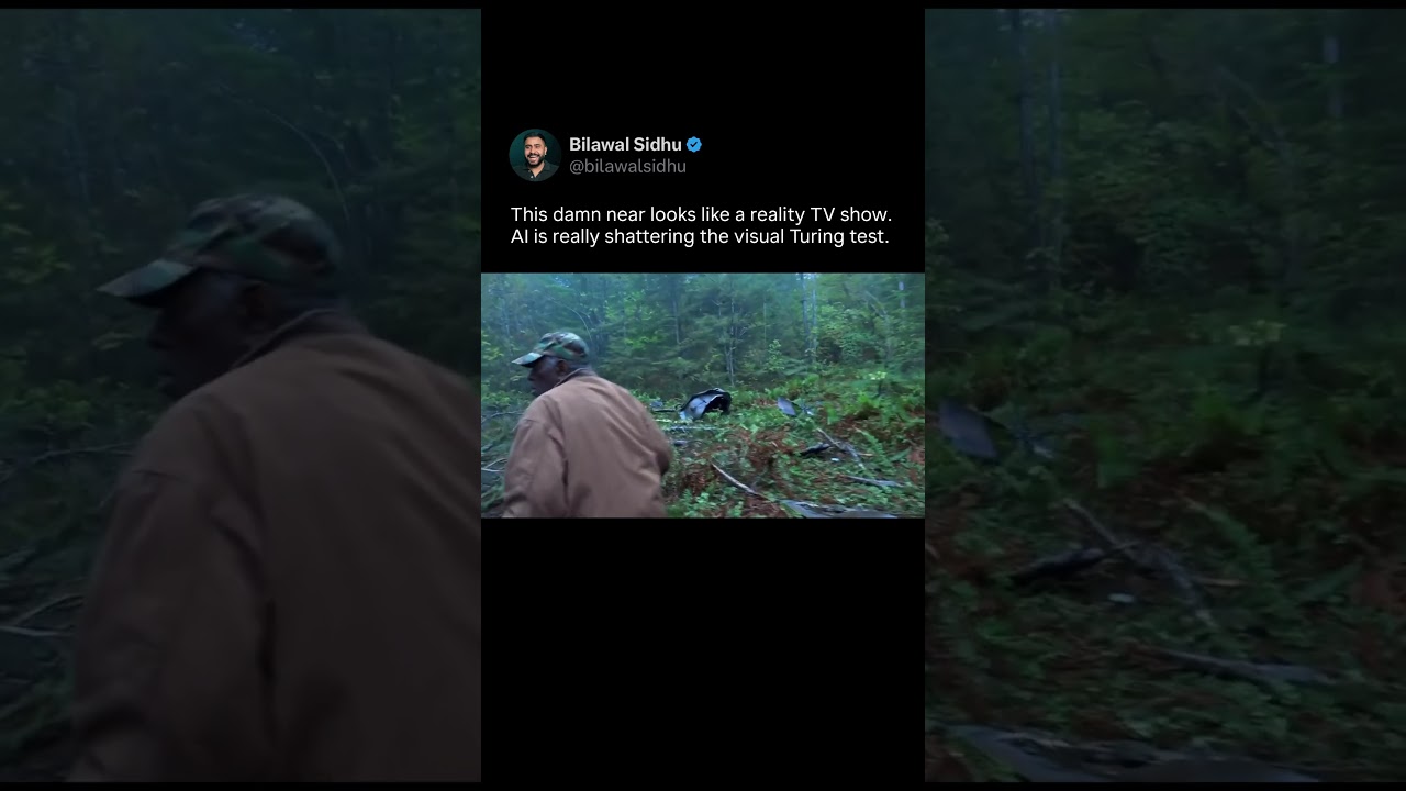
AI video is getting too real. This feels like a reality TV show with a huge VFX budget.
Black Forest Labs FLUX 3 generation by the homie @dreamingtulpa — AI video is absolutely shattering the visual Turing test. What even is real anymore? This looks like a reality TV show with a big visual effects budget. Kinda nuts to imagine how many worlds will be created in the near future — starting with creative remixing of content that already exists. It starts feeling like interdimensional cable TV!
IronSight: Turning 2D Videos Into 4D Reconstructions of Reality
I vibe coded terminator vision replays with no LiDAR or IMU, just 2D videos from Ray-Bans, GoPros, and iPhones — all fused into a 4D reconstruction of my shooting range sessions. Full pipeline in the video ft. audio-waveform sync, SAM3 masked colmap & pi3 solves, 3D gaussian splats, and gemini as the hit/miss judge. I absolutely love the convergence of augmented reality and artificial intelligence, and can’t wait to share more experiments like this with you all. I openly share my workflows and
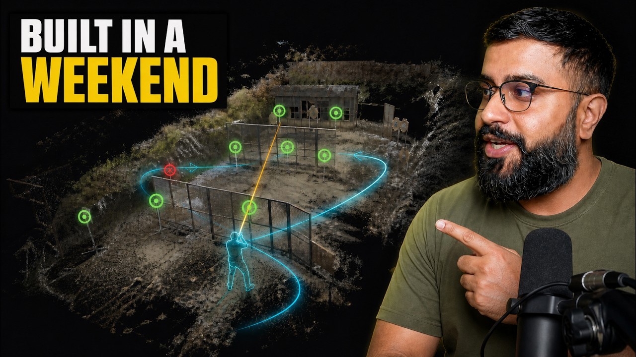
Fable 5 Is Insane. I Vibe Coded Terminator Vision.
I vibe coded a defense tech style 4D shooting analysis system in my browser, from nothing but flat 2D video off Meta Ray-Bans, iPhones, and GoPros. Every shot tracked and classified as a hit or miss, every target mapped in 3D -- and a god's eye view replay of the whole range session you can fly a camera through, even seeing targets through walls. A swarm of AI agents powered by Fable 5 and Codex 5.6 did the heavy lifting while I slept. In this video, I give you the full recipe so you can turn yo
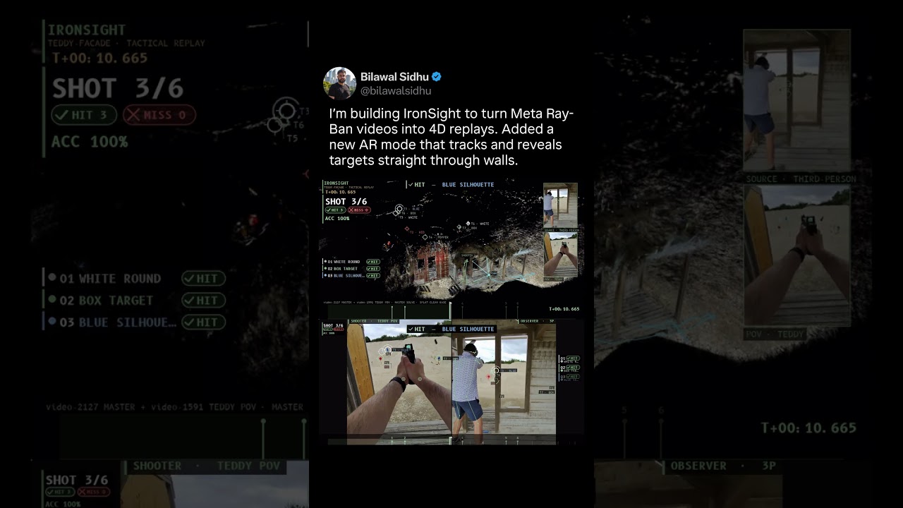
IronSight Can Now See Through Walls With 4D Replays - Dev Diary 2
Loving how this turned out! IronSight turns Meta Ray-Ban clips (from the range) into 4D reconstructions you can replay from any angle -- including an AR view that sees targets straight through walls. It 3D tracks both runs, auto locates every target, and scores hits vs misses using audio cues + Gemini for multimodal reasoning. Full breakdown coming to the channel. The test below is where this started, and then Fable showed up and I blitzed through my whole roadmap in a few days.
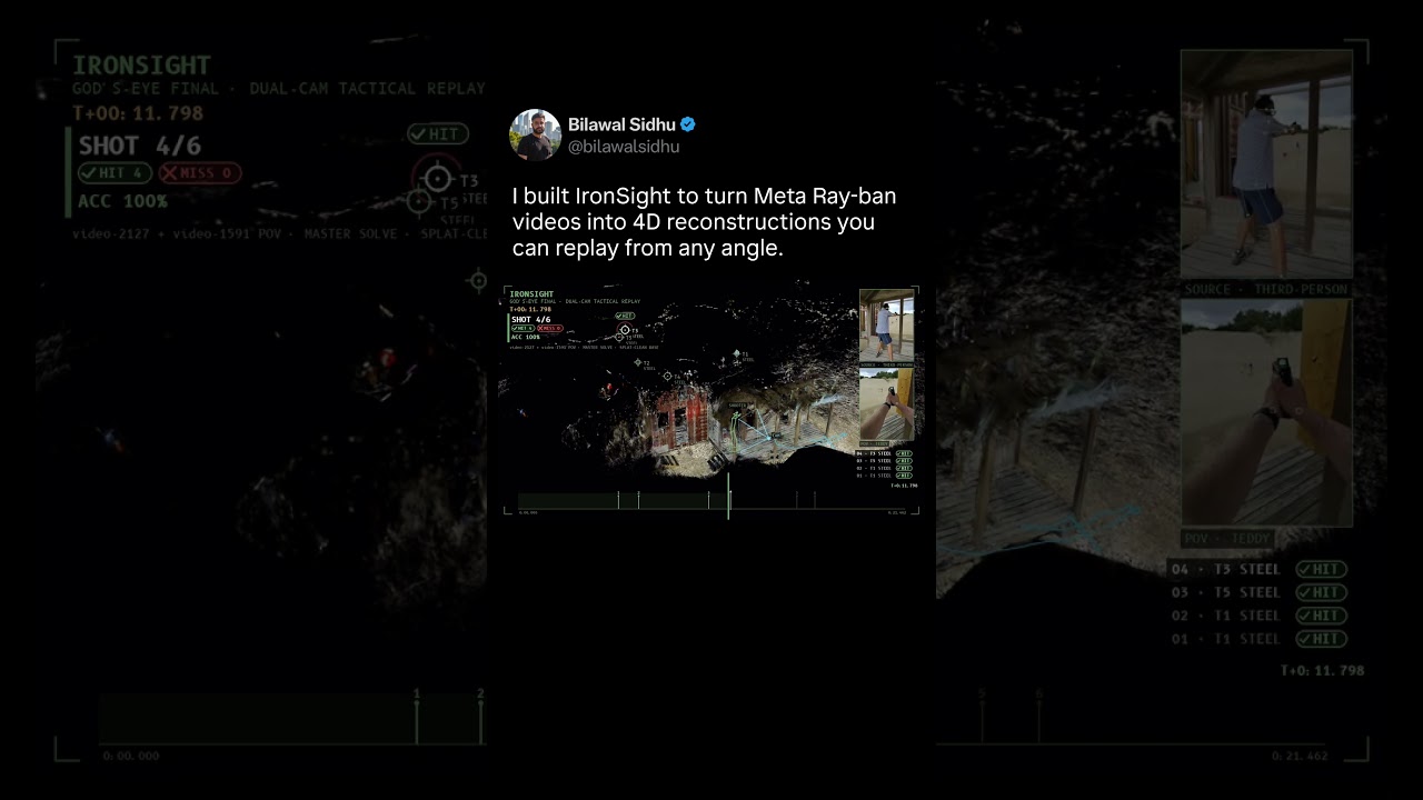
IronSight Turns 2D Videos Into 4D Replays - Dev Diary 1
This is IronSight - a 4D reconstruction built by fusing footage from two pairs of meta ray-bans. A google research buddy saw the prototype and joked this would've been a siggraph paper a few years ago. Today it's a weekend build with fable. Stay tuned for more mad science experiments with artificial intelligence and augmented reality. Happy 4th of July and 250th America!
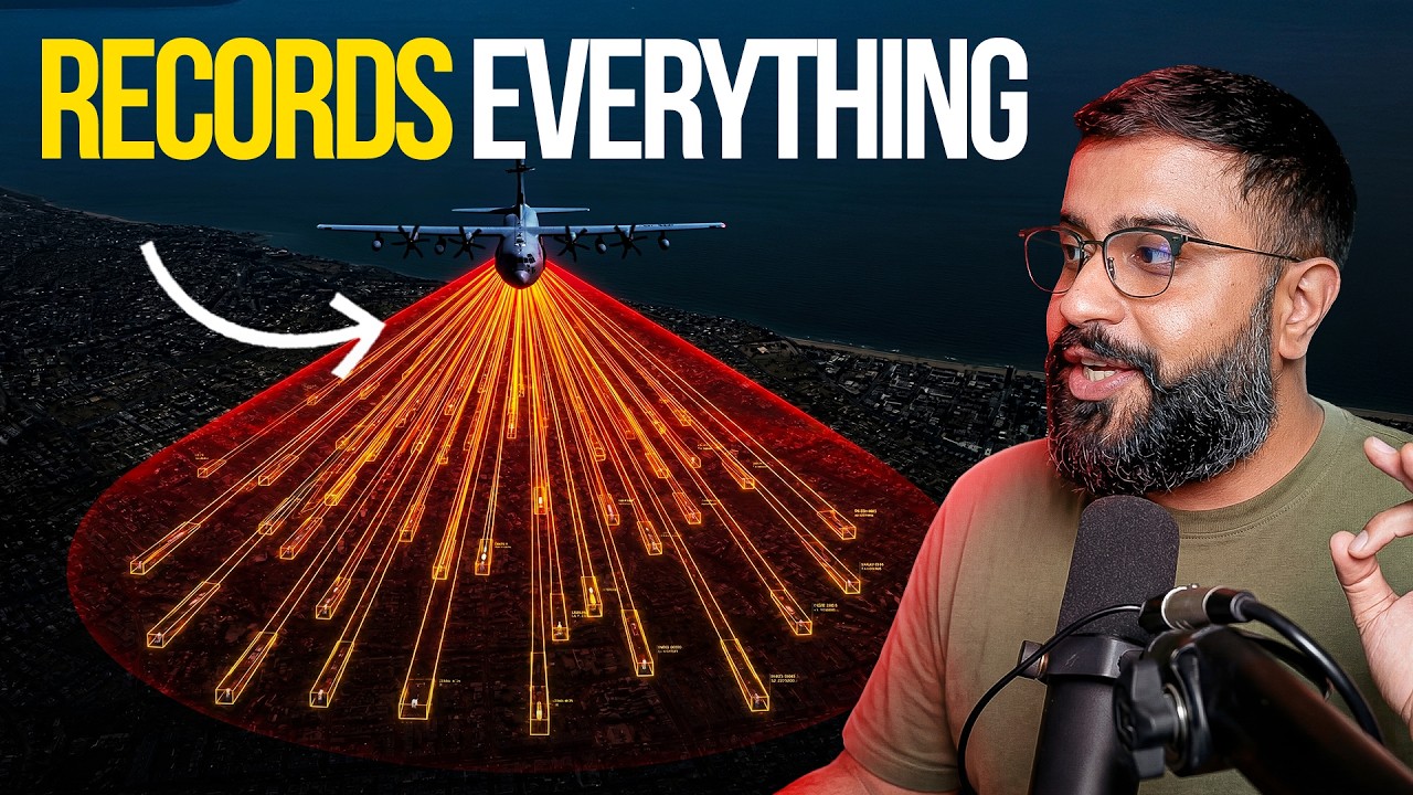
Hollywood Imagined It. The Military Actually Built it.
In 1998, Enemy of the State imagined a satellite that could track anyone, anywhere. A few years later, engineers built a real version of it, not in space, but in the skies above Iraq. This video traces the actual history of WAMI (Wide Area Motion Imagery): how it was developed by the Air Force, DARPA, and the CIA to track insurgent networks, how it quietly came home to police departments in cities like Baltimore, what a federal appeals court ultimately ruled about it, and where the technology s
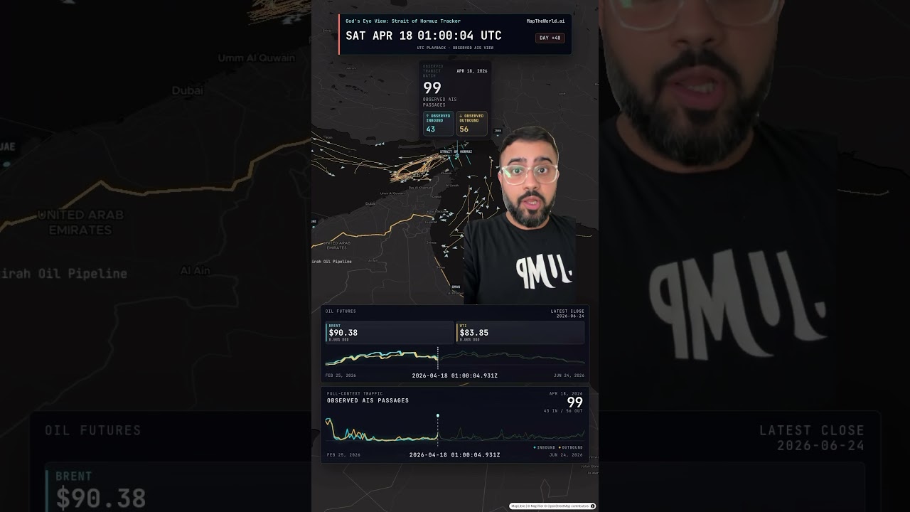
Schrodinger’s Strait - Both Open & Closed At The Same Time
Strait of Hormuz vessel traffic is going up. Oil futures are going down. And of course there's now a reported drone strike on a Singapore flagged cargo vessel. At this point we should call it Schrodinger’s Strait -- it's both open and closed at the same time. God's eye view open source release next month: github.com/bilawalsidhu/gods-eye-view #osint #straitofhormuz
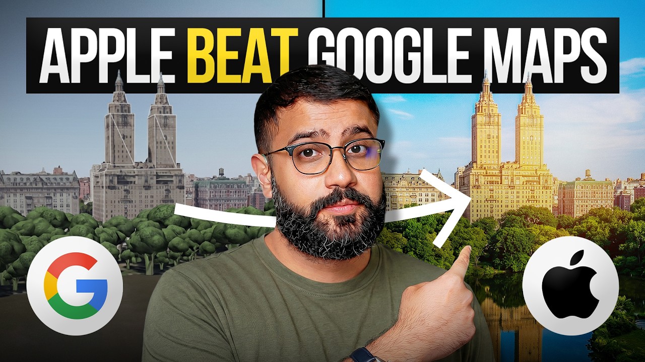
Apple Maps Just Got Insanely Realistic — Here's The Tech Behind It
Apple just did something nobody expected; they beat Google at Google's own game. At WWDC 2026, Apple quietly announced that Flyover in Apple Maps is getting a complete visual overhaul powered by 3D Gaussian Splatting, a technology that came out of a research lab in France just two years ago and has now made it into your Maps app. No more melted buildings. No more broccoli trees. No more blobby power lines. Just photorealistic city-scale 3D that actually looks real. And here's what makes this w
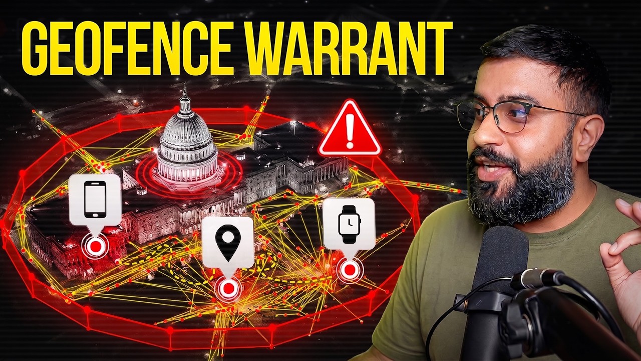
Police Drew a Circle on a Map. Here's What Google Sent Them.
Most people think surveillance means cameras on street corners. They're wrong. Your phone knows where you sleep, where you work, where you travel, and everywhere in between. And today, law enforcement can use something called a geofence warrant to identify every device inside a specific area — even if you're not a suspect. In this video, we break down how geofence warrants work, why the Supreme Court is reviewing them, and how location data from Google, cell carriers, ride-sharing apps, connect
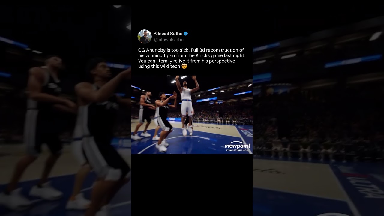
Insane 3d replay of the winning tip-in from the Knicks game last night - OG Anunoby POV
OG Anunoby is too sick. Here is the full point-of-view 3d reconstruction of his winning tip-in from the Knicks game last night. You can literally relive it from his perspective. Built with viewpoint pro using stadium tracking cameras and unreal engine.
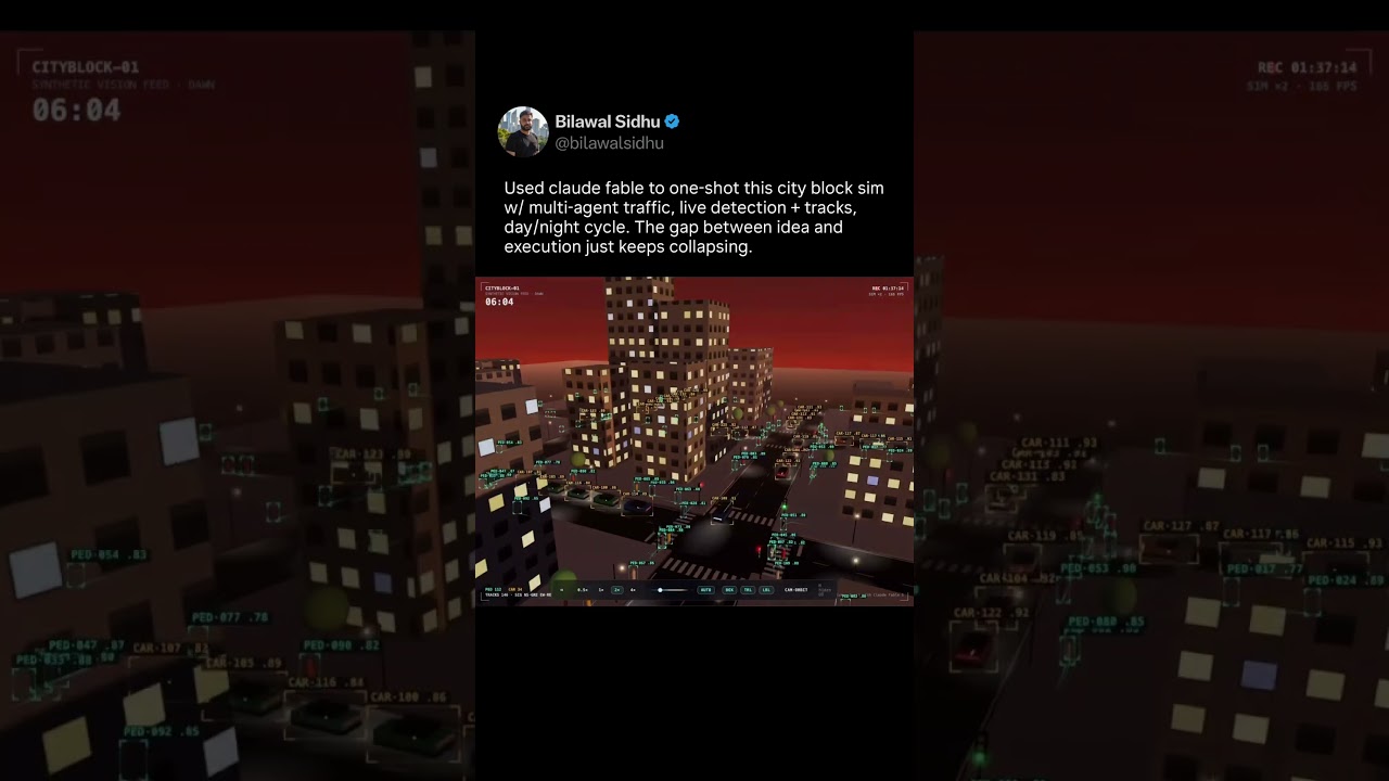
I used claude fable to make this city block simulator
Just used claude fable (aka mythos) to create this city block simulator complete with multi-agent traffic, live detection boxes + tracks, and day to night cycle. And it just one shotted it. This is gonna be fun -- the gap between idea and execution just keeps collapsing. The lines between code and content keep blurring.
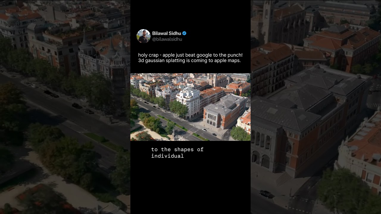
Apple Beat Google To It! 3D Gaussian Splats Are Coming to Maps
Holy crap! Apple just beat Google to the punch -- 3D Gaussian splatting is coming to Apple Maps. These 3D scenes are made from oblique aerial imagery. But unlike blobby photogrammetry -- no more broccoli trees, no more melted powerlines -- ground level detail that actually holds up. Here's hoping Google Maps/Earth follows suit soon -- they have a significantly larger corpus of sensor data to work with. Time to splat the world!
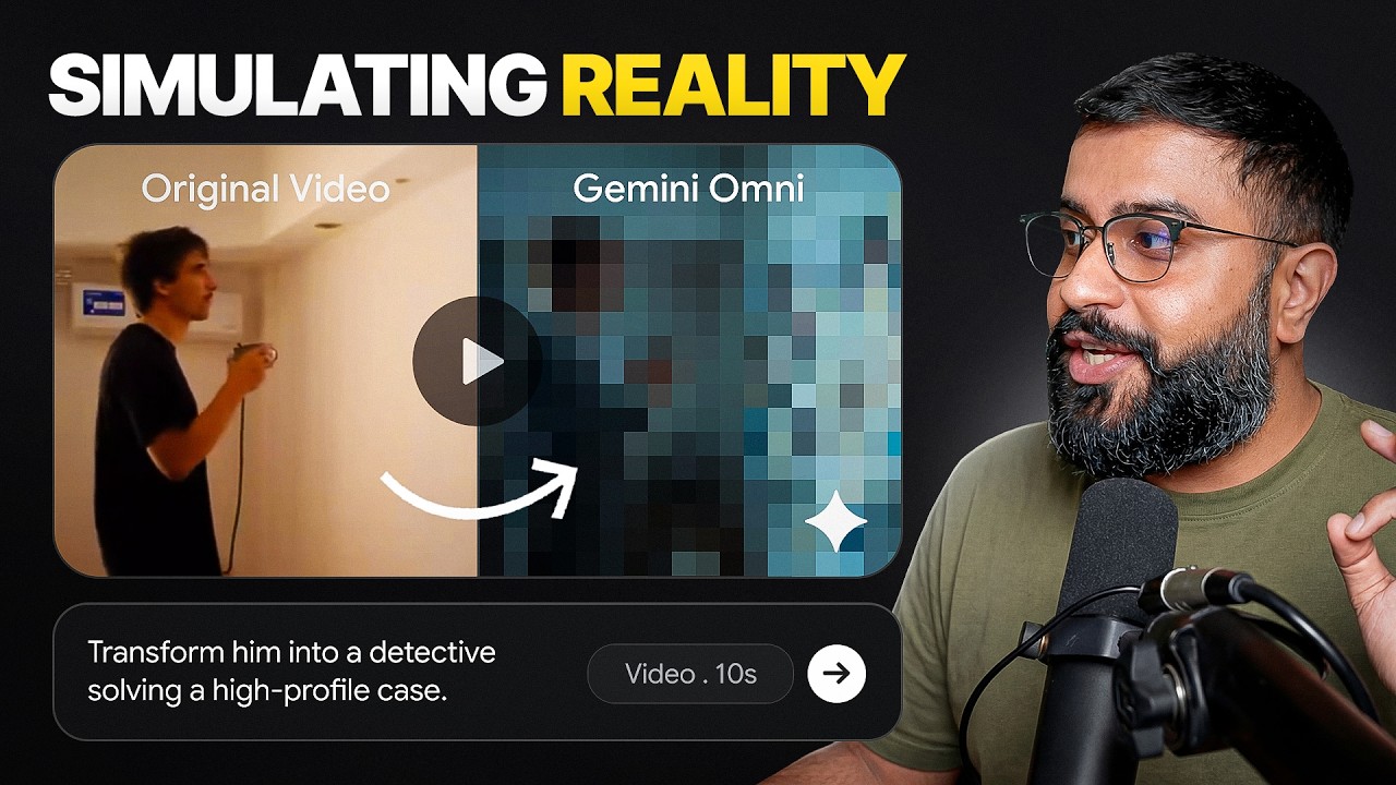
I Accidentally Started an AI Video Trend
A few days ago, I conducted a simple experiment. I scribbled a chaotic drone path over a map, fed it into Google’s newly released Gemini Omni model, and asked it to simulate a first-person drone view following that exact trajectory. What happened next completely broke AI Twitter. Creators across the US, China, and the global AI community took this "scribble-to-video" concept and turned it into the ultimate stress test, pitting Google’s new foundational model against ByteDance’s powerful Seedan
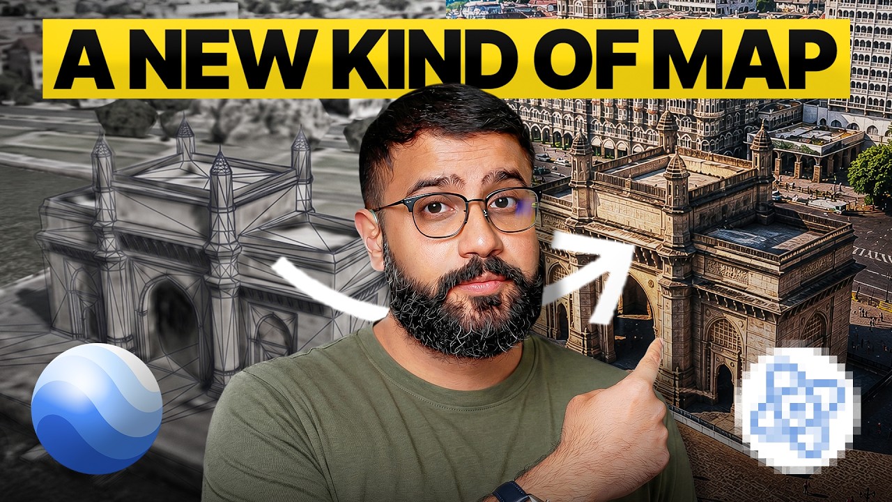
The Craziest Mapping Breakthrough Since Google Earth
Google Earth has looked the same for 15 years. This is the year that changes — and not just for humans. Gaussian splatting just got an open standard. That means the same photoreal 3D capture that Zillow puts in a home listing is the same file a delivery robot uses to navigate a sidewalk, a drone uses to fly without GPS, and AR glasses use to anchor a virtual sign to a building — centimeter-precise, no GPS required. In this video, I break down who's scaling this new map of Earth, why an open st
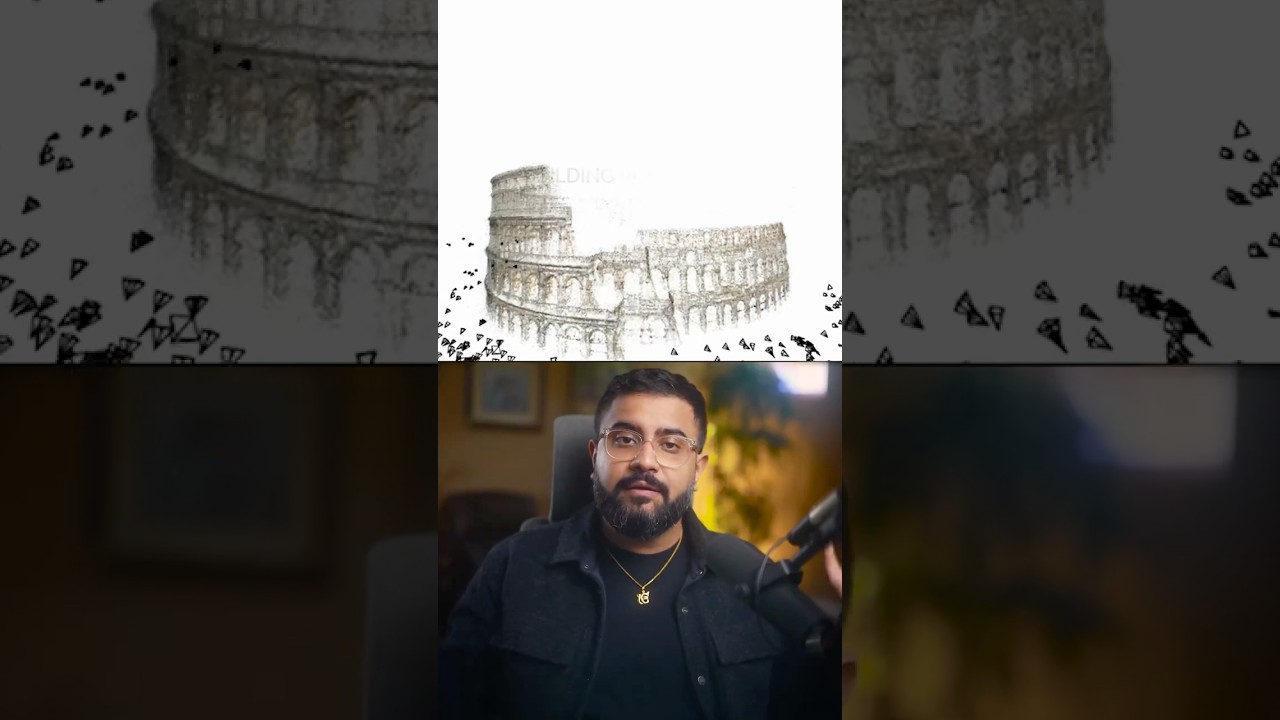
How a 2009 Paper Built Rome in a Day
In 2009, a team at the University of Washington downloaded thousands of Flickr photos of Rome and reconstructed the city in a single day. The toolkit that paper introduced is still the backbone of Street View today. #StructureFromMotion #StreetView #ResearchPaper #GoogleMaps #BundleAdjustment #CVPaper
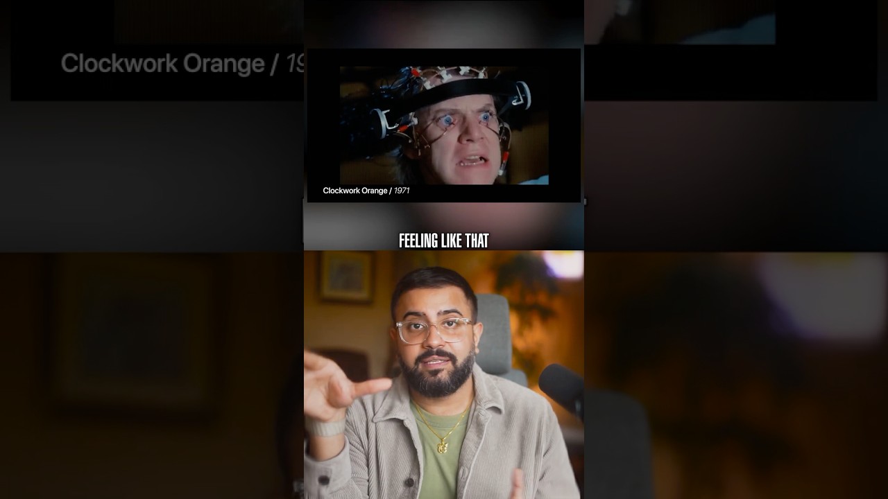
Your TV Camera Is Watching You Back
Google has patents for the TV camera to watch you. Apple's VR patents go further -- eye tracking that reads your pupils to classify your mood. Feedback loops aren't a thought experiment anymore. #EyeTracking #VRPrivacy #BiometricSurveillance #AppleVisionPro #PatentFiling #ClockworkOrange
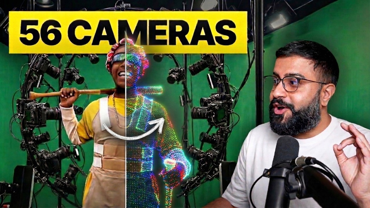
Holographic Video is Finally Here. 4D Gaussian Splats Explained!
Everyone's talking about AI video generators. Meanwhile, 4D Gaussian Splatting actually shipped in a $200 million Superman movie, an ASAP Rocky music ...